Public domain
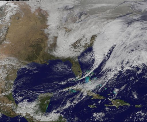
Satellite Shows Developing U.S. Nor'easter
From the collection of NASA Image and Video Library. Free to download, adapt and use — no permission needed.
About this work
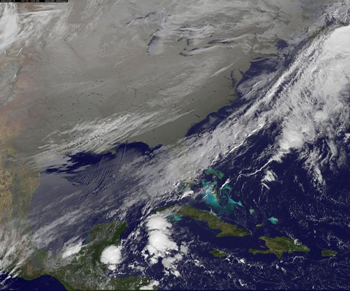
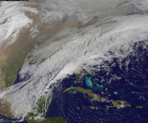
National Weather Service forecasters have been tracking a low pressure area that moved from the Midwest into the Atlantic Ocean today, and is expected to become a strong nor'easter that will bring blizzard conditions to the northeastern U.S. The path of the system was captured in a NASA movie of NOAA's GOES-East satellite imagery.
NASA Image and Video Library’s own descriptionCredit lineSatellite Shows Developing U.S. Nor'easter. NASA/GSFC, 2017-12-08. Public domain. ID: GSFC_20171208_Archive_e000817.
Similar works
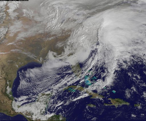 Satellite Views Powerful Winter Storm Battering Mid-Atlantic and New England
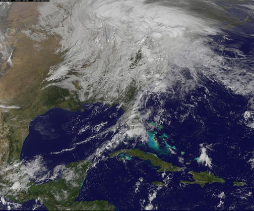 NASA Sees Post-Patricia Moisture, Winds Stalking the Mid-Atlantic
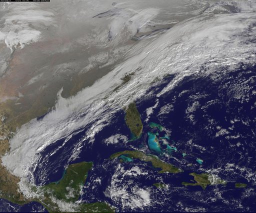 winter storm hits mid-Atlantic region
 Satellite View of the U.S. Wrapped in a Frozen Blanket
![Satellite Shows an "Arctic Blanket" Over the U.S. [detail]](https://thumbs.arkivism.com/nasa-GSFC_20171208_Archive_e001250.jpg) Satellite Shows an "Arctic Blanket" Over the U.S. [detail]
Satellite Shows an "Arctic Blanket" Over the U.S. [detail]
 Satellite Shows a Mid-Atlantic St. Patrick's Day Snow