Public domain
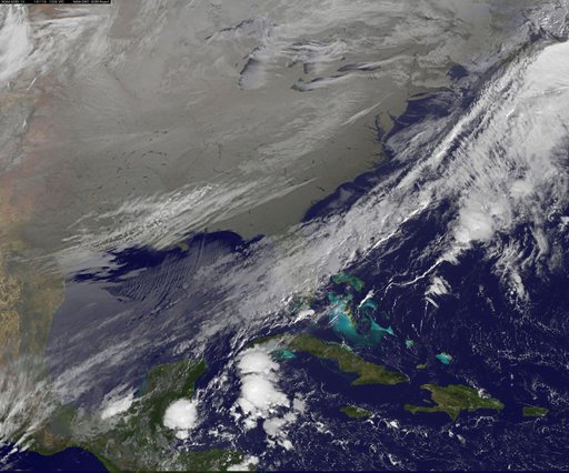
Satellite View of the U.S. Wrapped in a Frozen Blanket
From the collection of NASA Image and Video Library. Free to download, adapt and use — no permission needed.
About this work
As icy cold Canadian air settled over the eastern two-thirds of the U.S. bringing snow and bitter cold, NOAA's GOES-East satellite captured this infrared view of what looks like a frozen blanket over the region. NOAA's GOES-East satellite provides visible and infrared images over the eastern U.S. and the Atlantic Ocean from its fixed orbit in space. In an infrared image taken on Nov. 18 at 12:30 UTC (7:30 a.m. EST), the cold air over the eastern and central U.S.
NASA Image and Video Library’s own descriptionSubjects
Credit lineSatellite View of the U.S. Wrapped in a Frozen Blanket. NASA/GSFC, 2017-12-08. Public domain. ID: GSFC_20171208_Archive_e000886.
Similar works
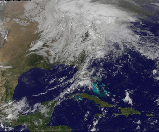 NASA Sees Post-Patricia Moisture, Winds Stalking the Mid-Atlantic
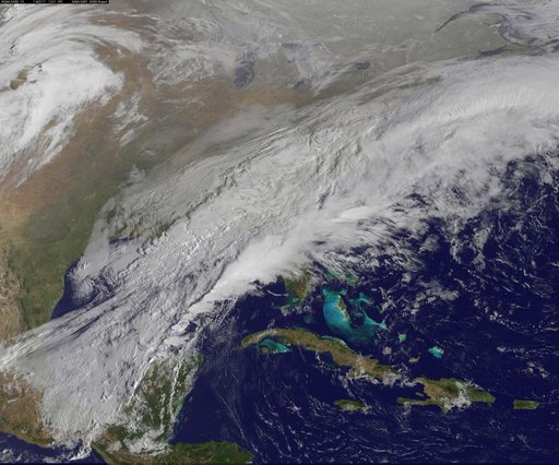 Satellite Shows a Mid-Atlantic St. Patrick's Day Snow
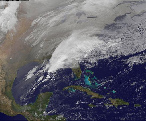 Satellite Shows Major Winter Storm Hitting the U.S. South
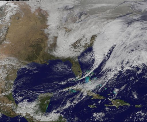 Satellite Shows Developing U.S. Nor'easter
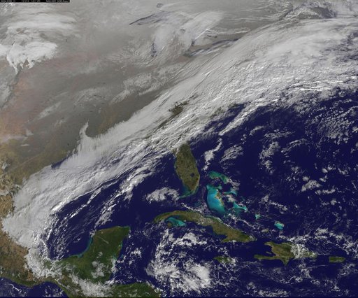 winter storm hits mid-Atlantic region
![Satellite Shows an "Arctic Blanket" Over the U.S. [detail]](https://thumbs.arkivism.com/nasa-GSFC_20171208_Archive_e001250.jpg) Satellite Shows an "Arctic Blanket" Over the U.S. [detail]
Satellite Shows an "Arctic Blanket" Over the U.S. [detail]