Public domain
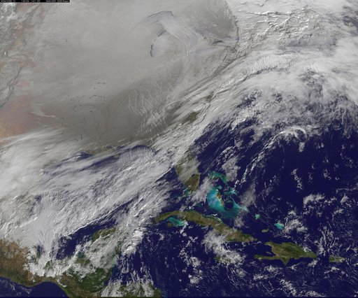
Satellite Image Shows Entry of the Polar Vortex into the Northern U.S.
From the collection of NASA Image and Video Library. Free to download, adapt and use — no permission needed.
About this work
The Polar Vortex is a whirling and persistent large area of low pressure, found typically over both north and south poles. The northern Polar Vortex is pushing southward over western Wisconsin/eastern Minnesota today, Monday, January 6, 2014 and is bringing frigid temperatures to half of the continental United States. It is expected to move northward back over Canada toward the end of the week. This image was captured by NOAA's GOES-East satellite on January 6, 2014 at 1601 UTC/11:01 a.m. EST.
NASA Image and Video Library’s own descriptionCredit lineSatellite Image Shows Entry of the Polar Vortex into the Northern U.S.. NASA/GSFC, 2017-12-08. Public domain. ID: GSFC_20171208_Archive_e001268.
Similar works
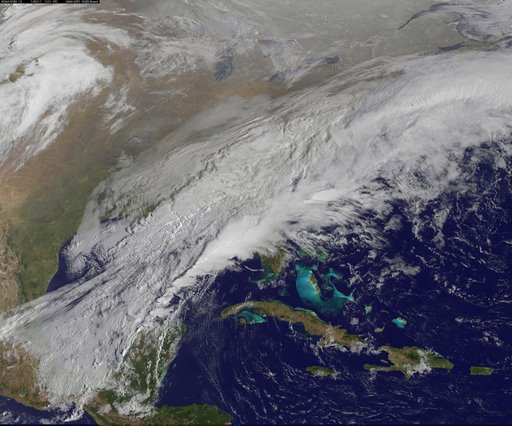 Satellite Shows a Mid-Atlantic St. Patrick's Day Snow
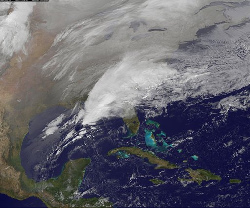 Satellite Shows Major Winter Storm Hitting the U.S. South
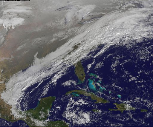
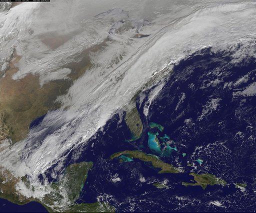 Long, Strong Eastern U.S. Cold Front Brings Changes
 winter storm hits mid-Atlantic region
![Satellite Shows an "Arctic Blanket" Over the U.S. [detail]](https://thumbs.arkivism.com/nasa-GSFC_20171208_Archive_e001250.jpg) Satellite Shows an "Arctic Blanket" Over the U.S. [detail]
Satellite Shows an "Arctic Blanket" Over the U.S. [detail]
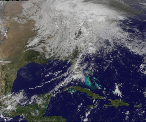 NASA Sees Post-Patricia Moisture, Winds Stalking the Mid-Atlantic