Public domain
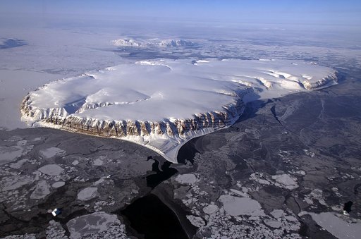
IceBridge Survey Flight Over Saunders Island and Wolstenholme Fjord
From the collection of NASA Image and Video Library. Free to download, adapt and use — no permission needed.
About this work
This image of Saunders Island and Wolstenholme Fjord with Kap Atholl in the background was taken during an Operation IceBridge survey flight in April, 2013. Sea ice coverage in the fjord ranges from thicker, white ice seen in the background, to thinner grease ice and leads showing open ocean water in the foreground. In March 2013, NASA's Operation IceBridge scientists began another season of research activity over Arctic ice sheets and sea ice.
NASA Image and Video Library’s own descriptionCredit lineIceBridge Survey Flight Over Saunders Island and Wolstenholme Fjord. NASA/GSFC, 2017-12-08. Public domain. ID: GSFC_20171208_Archive_e001514.
Similar works
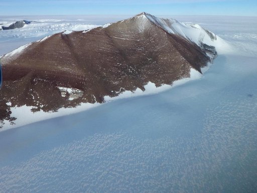 Pensacola Mountains
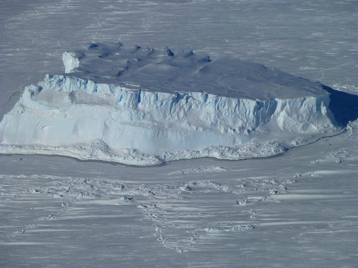 Iceberg trapped in sea ice
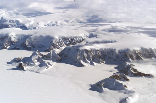 The Larsen Ice Shelf in Antarctica viewed from NASA's DC-8 aircraft during the AirSAR 2004 campaign
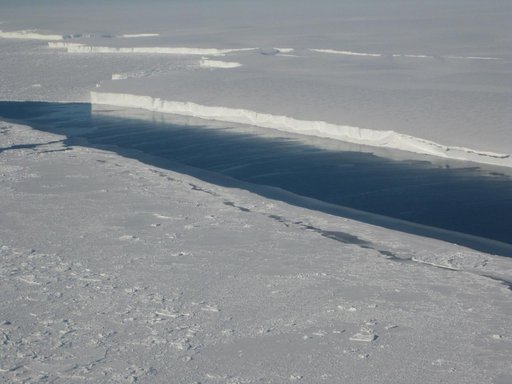 Ice Front at Venable Ice Shelf
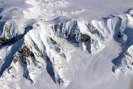 NASA Launches Eighth Year of Antarctic Ice Change Airborne Survey
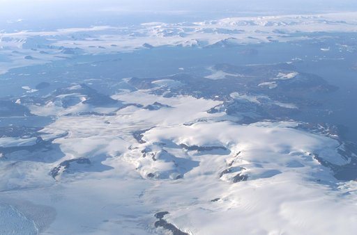 James Ross Island captured by NASA photographer James Ross, from NASA's DC-8 aircraft during an AirSAR 2004 mission over the Antarctic Peninsula