Public domain
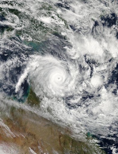
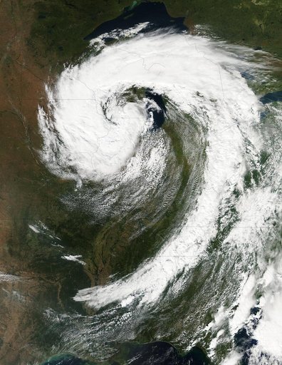
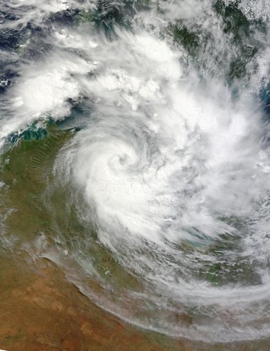
Tropical Cyclone Paul
From the collection of NASA Image and Video Library. Free to download, adapt and use — no permission needed.
About this work
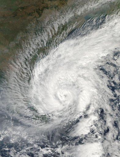
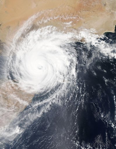
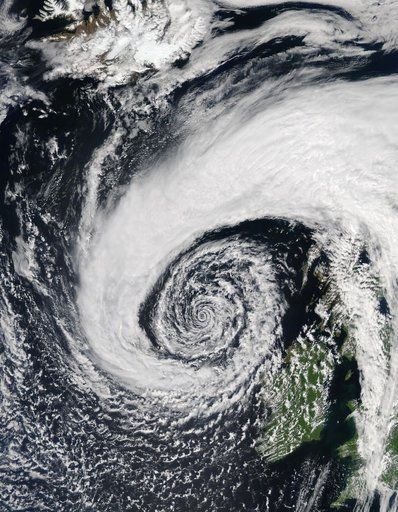
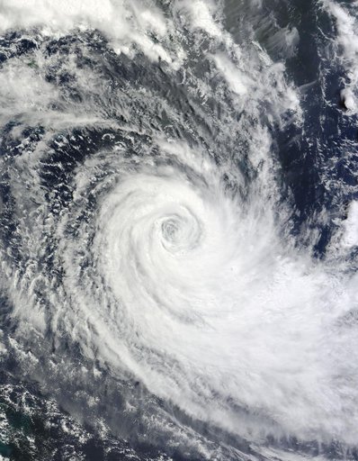
NASA image March 29, 2010 Tropical Cyclone Paul spanned the ocean waters between Australia and New Guinea on March 29, 2010. The MODIS on NASA’s Terra satellite captured this natural-color image the same day. The center of the cyclone is along the coast of Northern Territory’s Arnhem Land. Clouds run counter-clockwise across the Gulf of Carpentaria and Cape York Peninsula, over New Guinea’s Pulau Dolok, and over the Arafura Sea. On March 29, 2010, the U.S.
NASA Image and Video Library’s own descriptionSubjects
Credit lineTropical Cyclone Paul. NASA/GSFC, 2017-12-08. Public domain. ID: GSFC_20171208_Archive_e002095.