Public domain
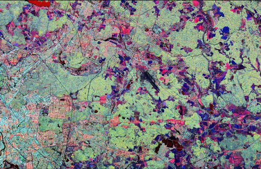
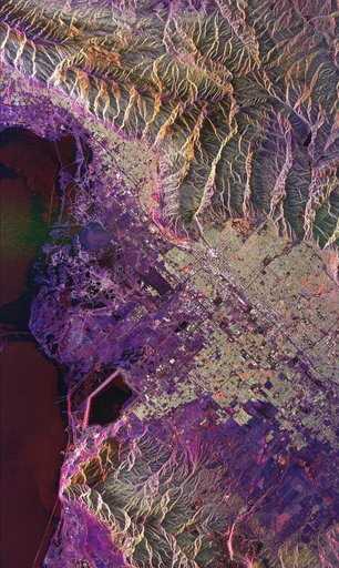
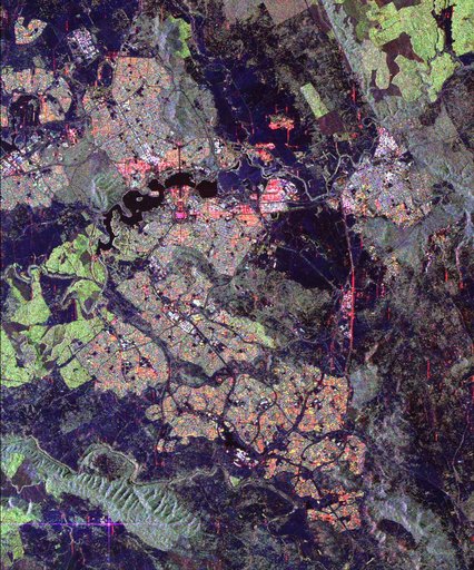
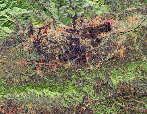
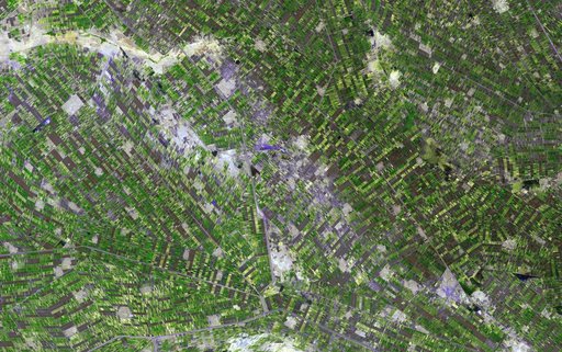
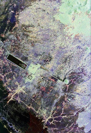
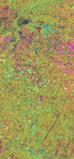
Space Radar Image of Altona, Manitoba, Canada
From the collection of NASA Image and Video Library. Free to download, adapt and use — no permission needed.
About this work
This is an X-band seasonal image of the Altona test site in Manitoba, Canada, about 80 kilometers (50 miles) south of Winnipeg. The image is centered at approximately 49 degrees north latitude and 97.5 degrees west longitude. This image was acquired by the Spaceborne Imaging Radar-C and X-band Synthetic Aperture Radar (SIR-C/X-SAR) aboard the space shuttle Endeavour on April 11, 1994, during the first flight of the radar system, and on October 2, 1994, during the second flight of SIR-C/X-SAR.
NASA Image and Video Library’s own descriptionSubjects
Credit lineSpace Radar Image of Altona, Manitoba, Canada. NASA/JPL, 1999-05-01. Public domain. ID: PIA01742.