Public domain
Space Radar Image of Patagonian Ice Fields
From the collection of NASA Image and Video Library. Free to download, adapt and use — no permission needed.
About this work
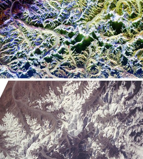
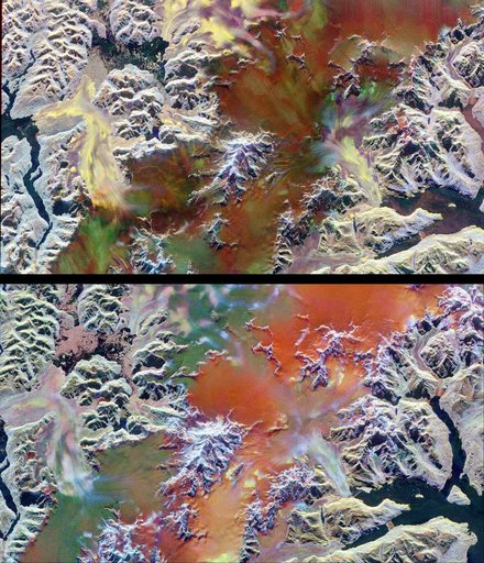
This pair of images illustrates the ability of multi-parameter radar imaging sensors such as the Spaceborne Imaging Radar-C/X-band Synthetic Aperture radar to detect climate-related changes on the Patagonian ice fields in the Andes Mountains of Chile and Argentina. The images show nearly the same area of the south Patagonian ice field as it was imaged during two space shuttle flights in 1994 that were conducted five-and-a-half months apart.
NASA Image and Video Library’s own descriptionSubjects
Credit lineSpace Radar Image of Patagonian Ice Fields. NASA/JPL, 1999-04-15. Public domain. ID: PIA01778.