Public domain
Oregon Forests
From the collection of NASA Image and Video Library. Free to download, adapt and use — no permission needed.
About this work
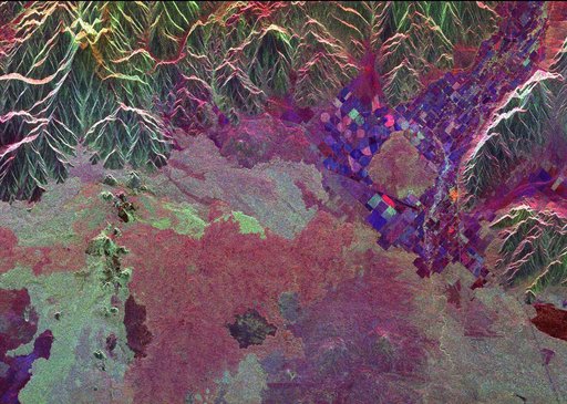
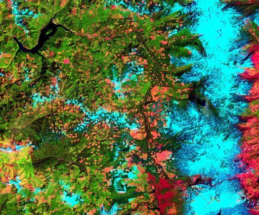
This 39 by 47 km ASTER sub-scene was acquired on May 20, 2000 and shows an area along the west side of the Cascade Range in west central Oregon. Bands 4, 3, and 2 were combined as red, green, and blue. In this composite, snow appears blue, forests are green, and clear-cut areas are orange-pink. The magnitude of logging operations is quite obvious, appearing as a checker board pattern. The image is centered at 44.6 degrees north latitude, 122.2 degrees west longitude.
NASA Image and Video Library’s own descriptionCredit lineOregon Forests. NASA/JPL, 2001-10-22. Public domain. ID: PIA11165.