Public domain
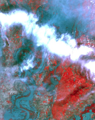
ASTER Images Flooding from Mississippi River Levee Breach
From the collection of NASA Image and Video Library. Free to download, adapt and use — no permission needed.
About this work
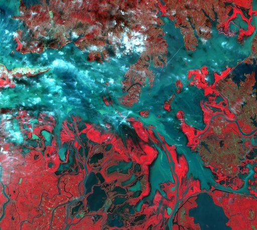
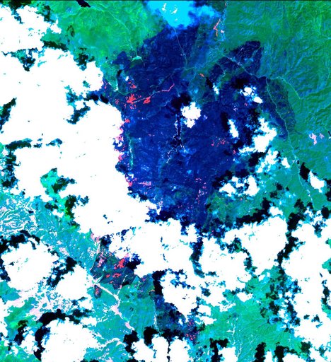
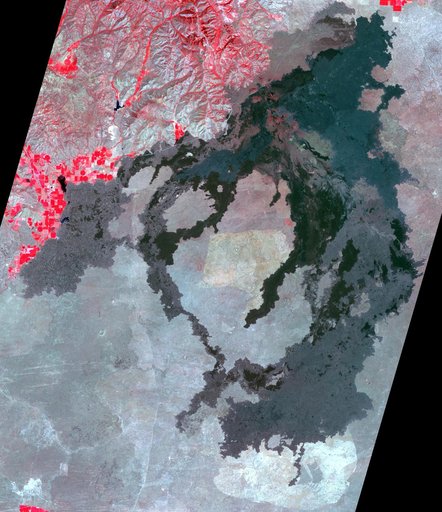
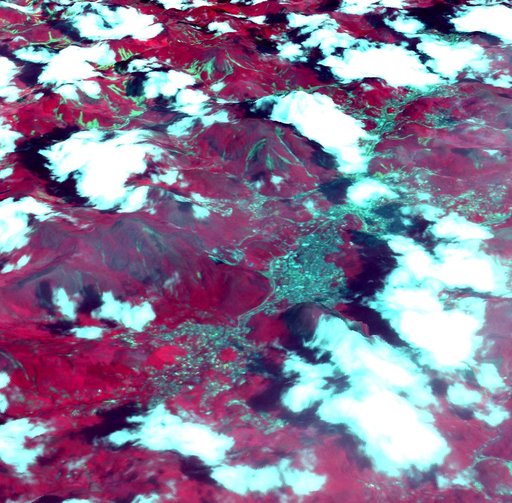
NASA Terra spacecraft shows the resultant flooding of farmland west of the Mississippi 20 miles south of the Mississippi River levee breach. U.S. Army Corps of Engineers detonated explosives at the Birds Point levee near Wyatt, Missouri, on May 2, 2011.
NASA Image and Video Library’s own descriptionCredit lineASTER Images Flooding from Mississippi River Levee Breach. NASA/JPL, 2011-05-10. Public domain. ID: PIA14147.