Public domain
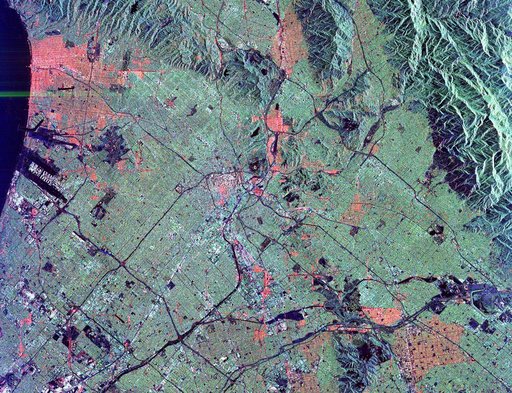
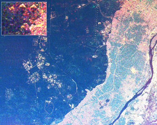
Space Radar Image of Giza Egypt - with Enlargement
From the collection of NASA Image and Video Library. Free to download, adapt and use — no permission needed.
About this work
This radar image shows the area west of the Nile River near Cairo, Egypt. The Nile River is the dark band along the right side of the image and it flows approximately due North from the bottom to the right. The boundary between dense urbanization and the desert can be clearly seen between the bright and dark areas in the center of the image. This boundary represents the approximate extent of yearly Nile flooding which played an important part in determining where people lived in ancient Egypt.
NASA Image and Video Library’s own descriptionSubjects
Credit lineSpace Radar Image of Giza Egypt - with Enlargement. NASA/JPL, 1999-04-15. Public domain. ID: PIA01793.