Public domain
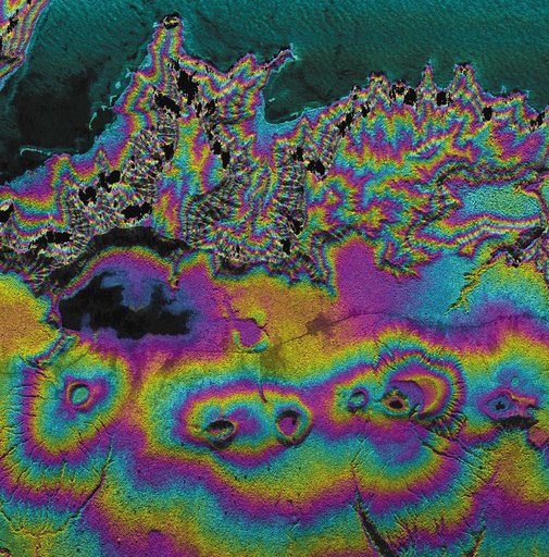
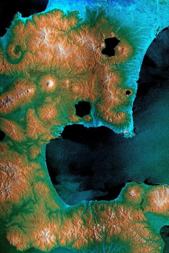
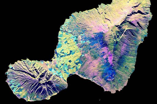
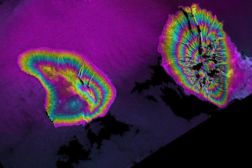
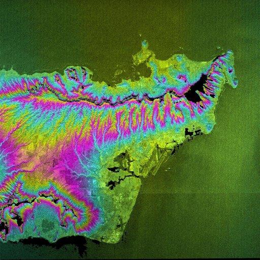
Honolulu, Hawaii Radar Image, Wrapped Color as Height
From the collection of NASA Image and Video Library. Free to download, adapt and use — no permission needed.
About this work
This topographic radar image acquired by NASA Shuttle Radar Topography Mission SRTM in Feb. 2000 shows the city of Honolulu, Hawaii and adjacent areas on the island of Oahu. Honolulu lies on the south shore of the island.
NASA Image and Video Library’s own descriptionSubjects
Credit lineHonolulu, Hawaii Radar Image, Wrapped Color as Height. NASA/JPL, 2000-02-18. Public domain. ID: PIA02720.