Public domain
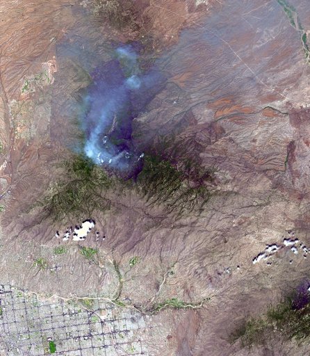
Aspen Fire, Arizona
From the collection of NASA Image and Video Library. Free to download, adapt and use — no permission needed.
About this work
On June 26, NASA's Terra satellite acquired this image of the Aspen fire burning out of control north of Tucson, AZ. As of that date, the fire had consumed more than 27,000 acres and destroyed more than 300 homes, mostly in the resort community of Summerhaven, according to news reports. These data are being used by NASA's Wildfire Response Team and the US Forest Service to assess the intensity of the burn for future remediation efforts.
NASA Image and Video Library’s own descriptionCredit lineAspen Fire, Arizona. NASA/JPL, 2003-07-01. Public domain. ID: PIA04602.
Similar works
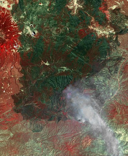 NASA Spacecraft Monitors Continuing Burn of Arizona Largest-Ever Wildfire
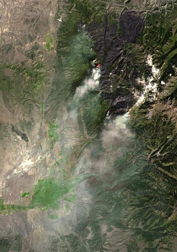 ASTER Views Twitchell Canyon Fire, Utah
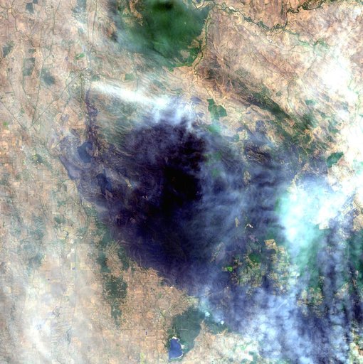 Australia Wildfires Extract a Heavy Toll in Lives, Land
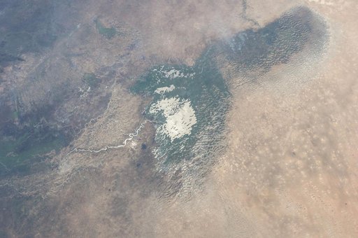 Earth Observation taken during the Expedition 37 mission
![East Peak Fire Burn Scar, Colorado [high res]](https://thumbs.arkivism.com/nasa-GSFC_20171208_Archive_e001431.jpg) East Peak Fire Burn Scar, Colorado [high res]
East Peak Fire Burn Scar, Colorado [high res]
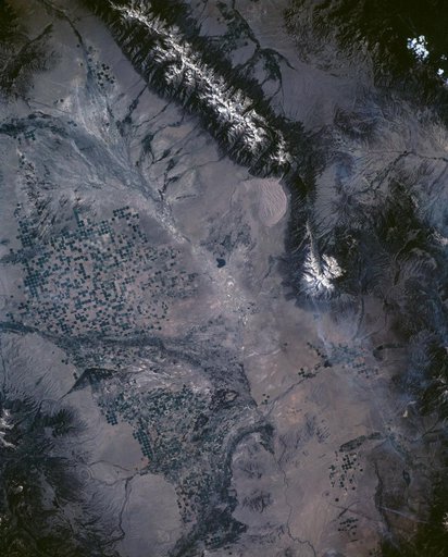 Great Sand Dune National Monument, CO, USA