Public domain
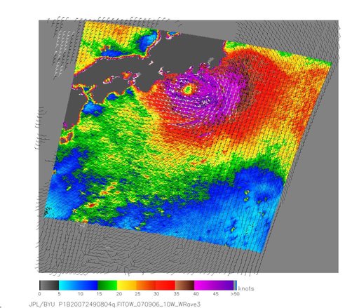
NASA Measures Fitow Winds by Satellite
From the collection of NASA Image and Video Library. Free to download, adapt and use — no permission needed.
About this work
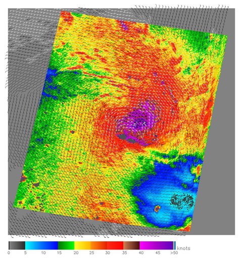
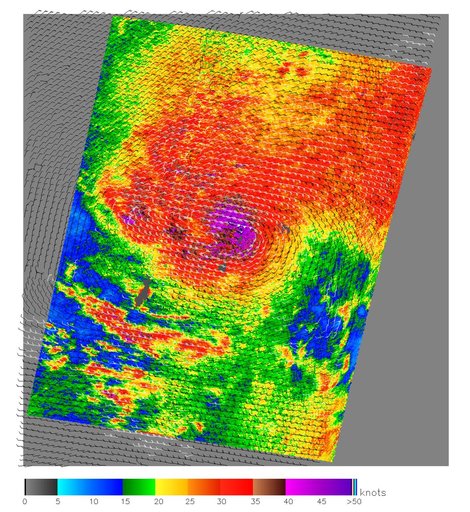
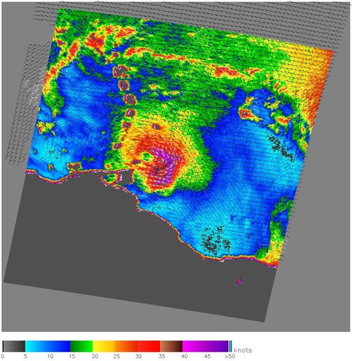
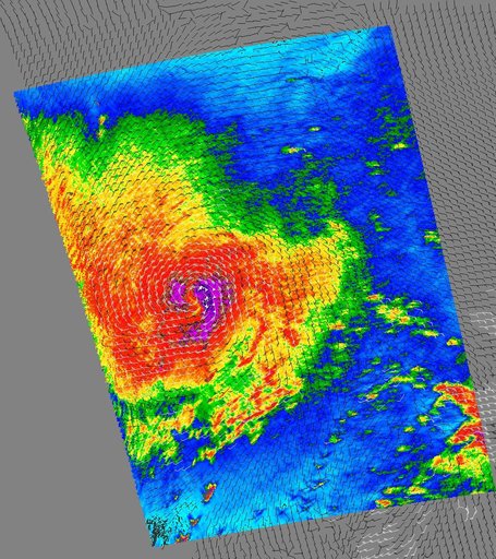
NASA QuikScat satellite acquired this image of Category One Typhoon Fitow on Sept. 6, 2007, prior to the storm making landfall in Japan.
NASA Image and Video Library’s own descriptionCredit lineNASA Measures Fitow Winds by Satellite. NASA/JPL, 2007-09-07. Public domain. ID: PIA09978.