Public domain
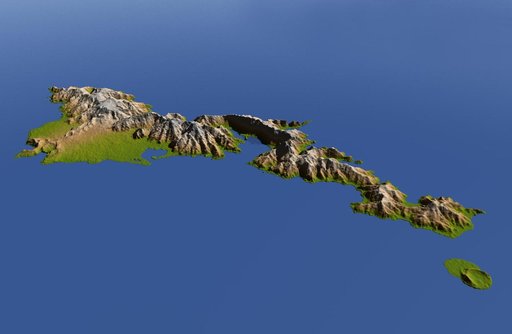
American Samoa, Shaded Relief and Colored Height
From the collection of NASA Image and Video Library. Free to download, adapt and use — no permission needed.
About this work
The topography of Tutuila, largest of the islands of American Samoa, is well shown in this color-coded perspective view generated with digital elevation data from the Shuttle Radar Topography Mission (SRTM.) The total area of Tutuila is about 141.8 square kilometers (54.8 square miles), slightly larger than San Francisco. The large bay near the center in this view is Pago Pago Harbor, actually a submerged volcanic crater whose south wall collapsed millions of years ago.
NASA Image and Video Library’s own descriptionSubjects
Credit lineAmerican Samoa, Shaded Relief and Colored Height. NASA/JPL, 2009-10-01. Public domain. ID: PIA11965.
Similar works
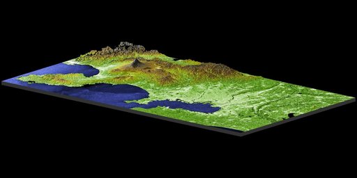 Perspective View with Radar Image Overlaid, Color as Height: Mt. Fuji and Tokyo, Japan
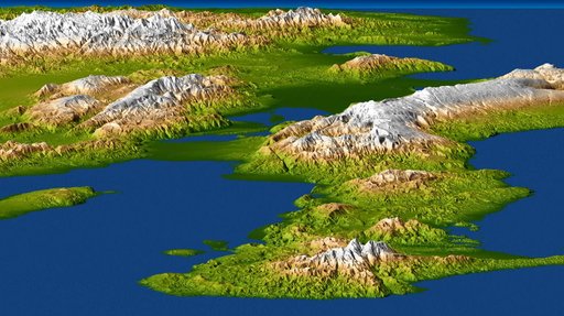 Port-au-Prince, Haiti
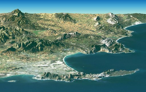 Cape Town, South Africa, Perspective View, Landsat Image over SRTM Elevation
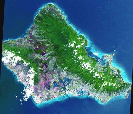 Oahu, Hawaii
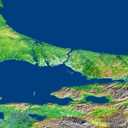 Shaded Relief and Radar Image with Color as Height, Bosporus Strait and Istanbul, Turkey
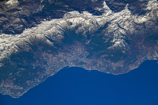 iss064e037444