Public domain
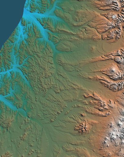
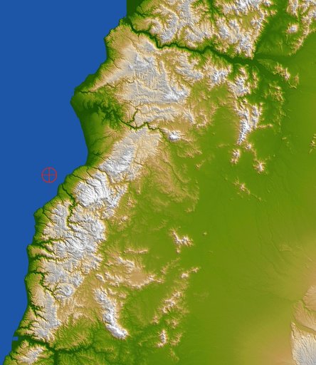
Coastal Chile Shaded Relief View
From the collection of NASA Image and Video Library. Free to download, adapt and use — no permission needed.
About this work
This color-coded shaded relief view from NASA Shuttle Radar Topography Mission of coastal Chile indicates the epicenter red marker of the 8.8 earthquake on Feb. 27, 2010, just offshore of the Maule region in the Bahia de Chanco.
NASA Image and Video Library’s own descriptionSubjects
Credit lineCoastal Chile Shaded Relief View. NASA/JPL, 2010-03-04. Public domain. ID: PIA12863.