Public domain
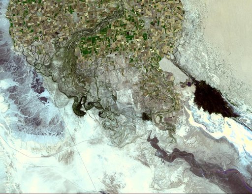
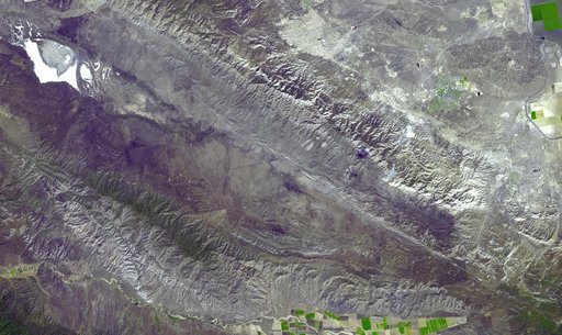
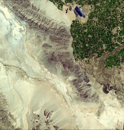
NASA Satellite Imagery Shows Sparse Population of Region Near Baja, California Earthquake
From the collection of NASA Image and Video Library. Free to download, adapt and use — no permission needed.
About this work
This image from NASA Terra spacecraft shows where a magnitude 7.2 earthquake struck in Mexico Baja, California at shallow depth along the principal plate boundary between the North American and Pacific plates on April 4, 2010.
NASA Image and Video Library’s own descriptionCredit lineNASA Satellite Imagery Shows Sparse Population of Region Near Baja, California Earthquake. NASA/JPL, 2010-04-09. Public domain. ID: PIA13027.