Public domain
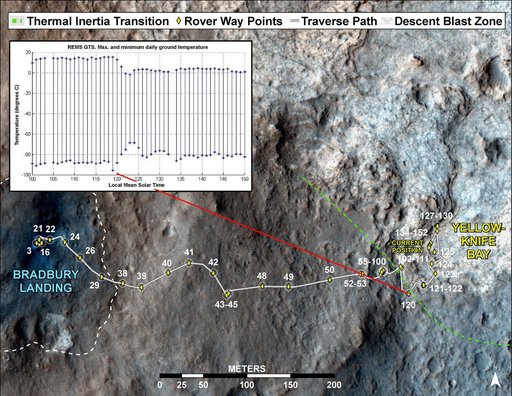
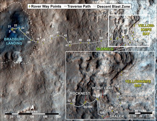
Curiosity Traverse Map, Sol 130
From the collection of NASA Image and Video Library. Free to download, adapt and use — no permission needed.
About this work
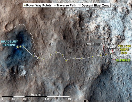
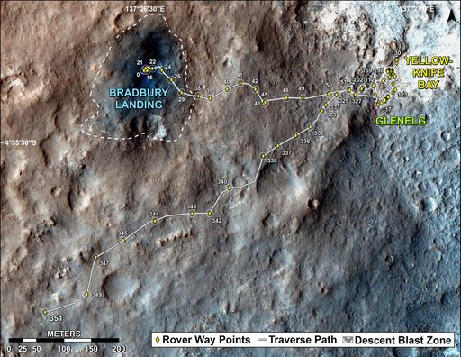
This map traces where NASA Mars rover Curiosity drove between landing at a site subsequently named Bradbury Landing, where the rover entered a shallow depression called Yellowknife Bay on Sol 125 Dec.12.
NASA Image and Video Library’s own descriptionSubjects
Credit lineCuriosity Traverse Map, Sol 130. NASA/JPL, 2012-12-18. Public domain. ID: PIA16554.