Public domain
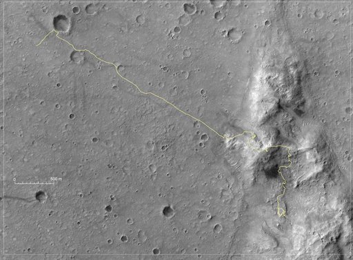
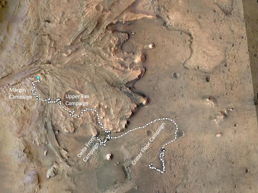
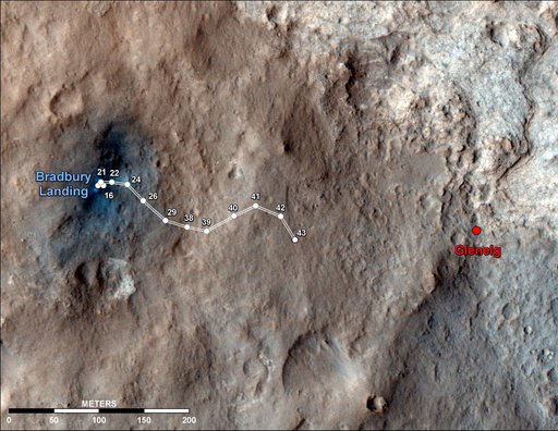
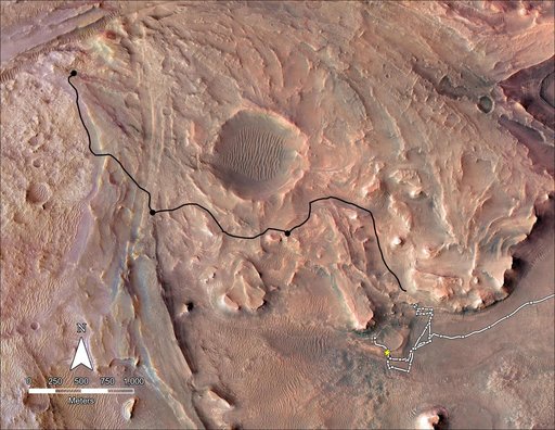
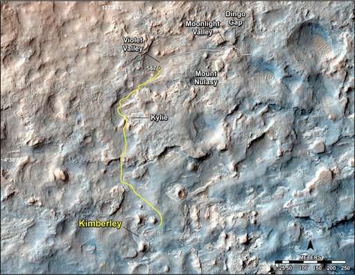
Map of Recent and Planned Driving by Curiosity as of Feb. 18, 2014
From the collection of NASA Image and Video Library. Free to download, adapt and use — no permission needed.
About this work
This map shows the route driven and route planned for NASA Curiosity Mars rover from before reaching Dingo Gap in upper right, to the mission next science waypoint, Kimberley formerly referred to as KMS-9, lower left.
NASA Image and Video Library’s own descriptionSubjects
Credit lineMap of Recent and Planned Driving by Curiosity as of Feb. 18, 2014. NASA/JPL, 2014-02-19. Public domain. ID: PIA17946.