Public domain
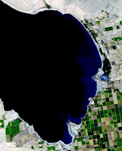
Salton Sea, California
From the collection of NASA Image and Video Library. Free to download, adapt and use — no permission needed.
About this work
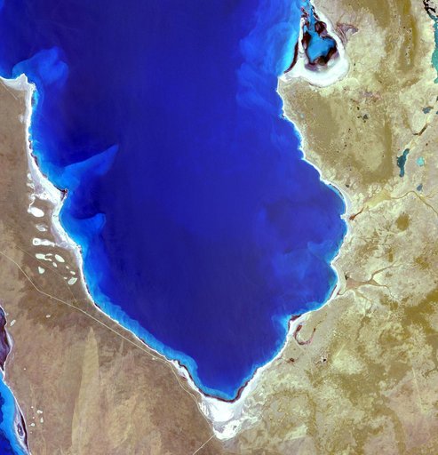
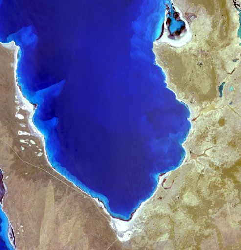
The Salton Sea in south California was created in 1905 when spring flooding on the Colorado River breached a canal. For 18 months the entire volume of the river rushed into the Salton Trough, creating a lake 32 km wide and 72 km long. In the 1950s, resorts sprang up along the shores. However, shrinking of the lake and increased salinity led to the abandonment of the resorts. The two images show the shrinking lake on May 31, 1984 (Landsat) and June 14, 2015 (ASTER).
NASA Image and Video Library’s own descriptionCredit lineSalton Sea, California. NASA/JPL, 2015-09-23. Public domain. ID: PIA19786.