Public domain
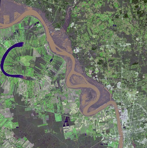
Flooding on the Mississippi River Captured by NASA Spacecraft
From the collection of NASA Image and Video Library. Free to download, adapt and use — no permission needed.
About this work
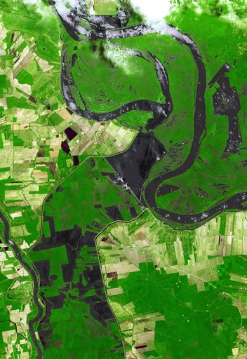
This image acquired on Jan. 17, 2016 by NASA Terra spacecraft shows major flooding along the Mississippi River, affecting Missouri, Illinois, Arkansas and Tennessee. As of January 17, flood warnings were issued for the area around Baton Rouge, Louisiana, as the river crested at 43.3 feet (13.1 meters), 8 feet (2.4 meters) above flood stage.
NASA Image and Video Library’s own descriptionCredit lineFlooding on the Mississippi River Captured by NASA Spacecraft. NASA/JPL, 2016-01-20. Public domain. ID: PIA20364.