Public domain
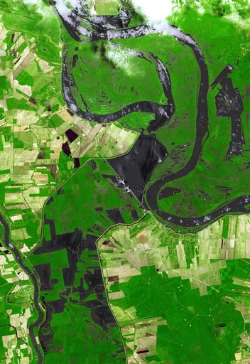
Persistent Flooding in Louisiana Imaged by NASA Spacecraft
From the collection of NASA Image and Video Library. Free to download, adapt and use — no permission needed.
About this work
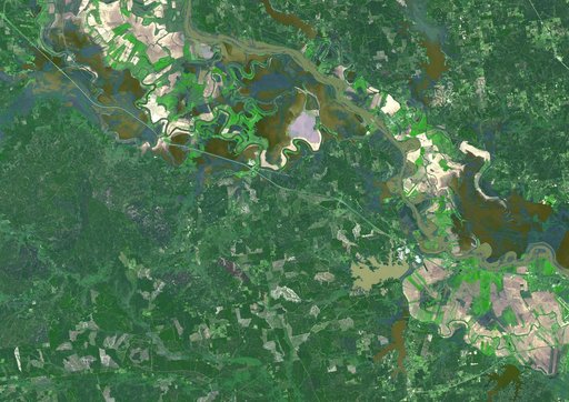
Torrential rains in the mid-South of the United States in mid-March 2016 produced flooding throughout Texas, Louisiana and Mississippi. On March 21, 2016, the Advanced Spaceborne Thermal Emission and Reflection Radiometer (ASTER) instrument on NASA's Terra spacecraft acquired this image showing persistent flooding along the Mississippi River between the Louisiana cities of Alexandria and Natchitoches.
NASA Image and Video Library’s own descriptionCredit linePersistent Flooding in Louisiana Imaged by NASA Spacecraft. NASA/JPL, 2016-03-21. Public domain. ID: PIA20533.