Public domain
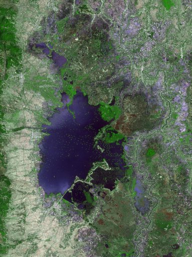
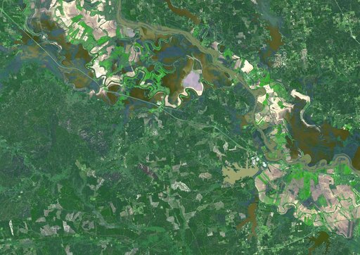
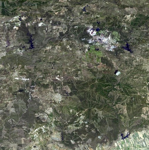
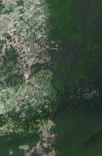
NASA Satellite Images Flooding Near Brisbane, Australia
From the collection of NASA Image and Video Library. Free to download, adapt and use — no permission needed.
About this work
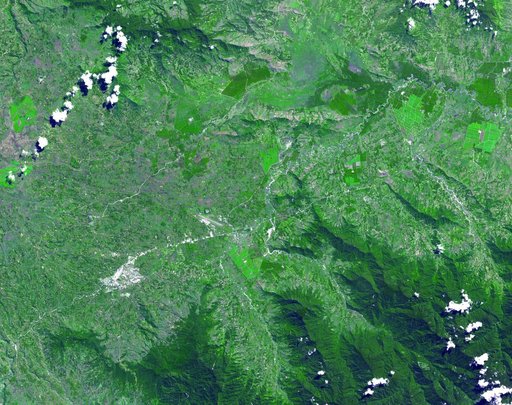
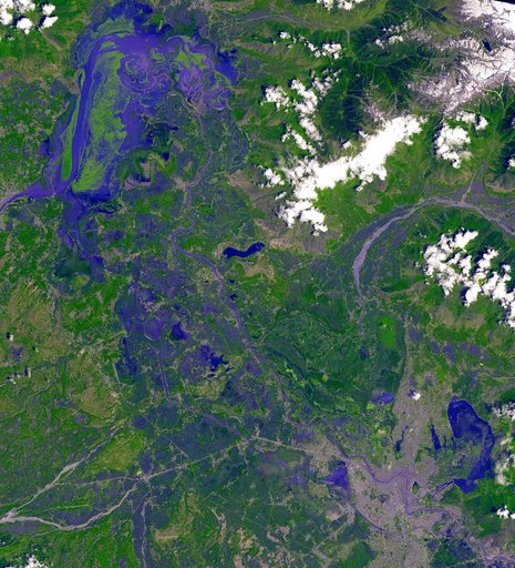
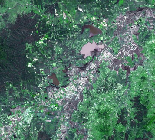
On January 17, 2011, the Advanced Spaceborne Thermal Emission and Reflection Radiometer ASTER instrument on NASA Terra spacecraft captured this image of the inundation west of Brisbane, Queensland, Australia.
NASA Image and Video Library’s own descriptionCredit lineNASA Satellite Images Flooding Near Brisbane, Australia. NASA/JPL, 2011-01-18. Public domain. ID: PIA13810.