Public domain
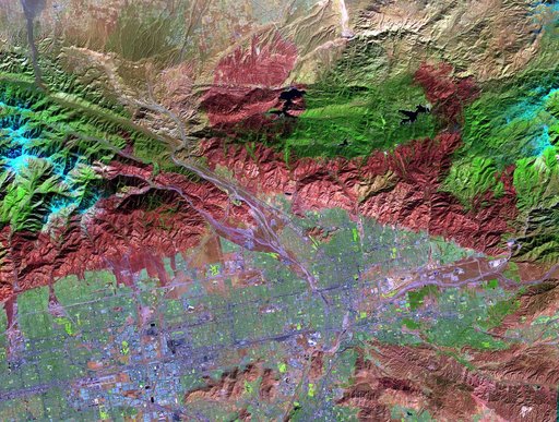
NASA Spacecraft Spots Aftermath of Destructive Wildfire in LA Backyard
From the collection of NASA Image and Video Library. Free to download, adapt and use — no permission needed.
About this work
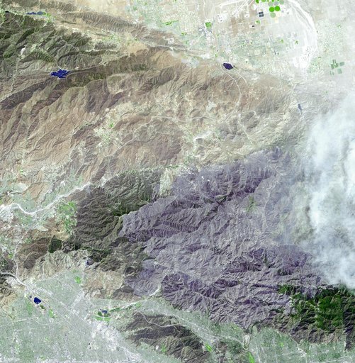
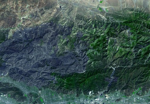
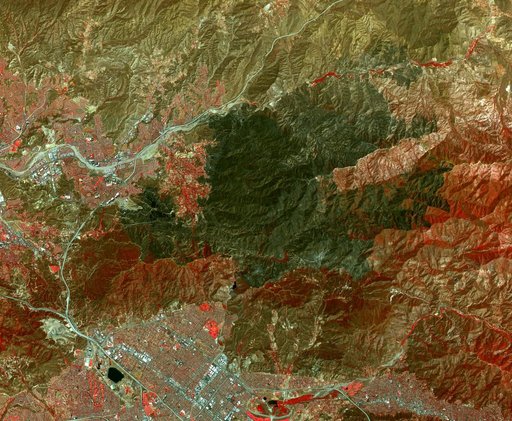
The Sand fire, in the mountains northwest of Los Angeles, has burned more than 39,000 acres, destroyed 18 houses, and caused one fatality. By August 1, 2016, when the Advanced Spaceborne Thermal Emission and Reflection Radiometer (ASTER) instrument on NASA's Terra spacecraft acquired this image, the fire was more than 90 percent contained. The fire began 10 days earlier in a brushy area near Highway 14.
NASA Image and Video Library’s own descriptionCredit lineNASA Spacecraft Spots Aftermath of Destructive Wildfire in LA Backyard. NASA/JPL, 2016-08-02. Public domain. ID: PIA20723.