Public domain
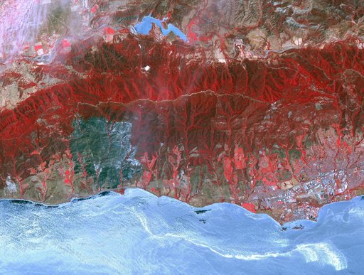
Major Wildfire Near Santa Barbara seen by NASA Spacecraft
From the collection of NASA Image and Video Library. Free to download, adapt and use — no permission needed.
About this work
The Sherpa fire in Santa Barbara County, CA has burned over 12 square miles since it started on June 15. Smoke from the fire reached Los Angeles on the weekend. The fire caused closures of US Highway 101, one of the main routes between southern and northern California. The image was acquired June 19, 2016, covers an area of 25 by 30 kilometers, and is located at 34.4 degrees north, 119.8 degrees west.
NASA Image and Video Library’s own descriptionCredit lineMajor Wildfire Near Santa Barbara seen by NASA Spacecraft. NASA/JPL, 2016-06-22. Public domain. ID: PIA20734.
Similar works
 Northern California Fires
 NASA Spacecraft Monitors Flooding in Algeria
 Impact of Northern California Fires Seen in New NASA Satellite Image
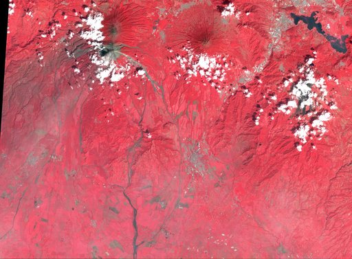 NASA's ASTER Captures Lava Flow, Ash from Guatemala Volcano
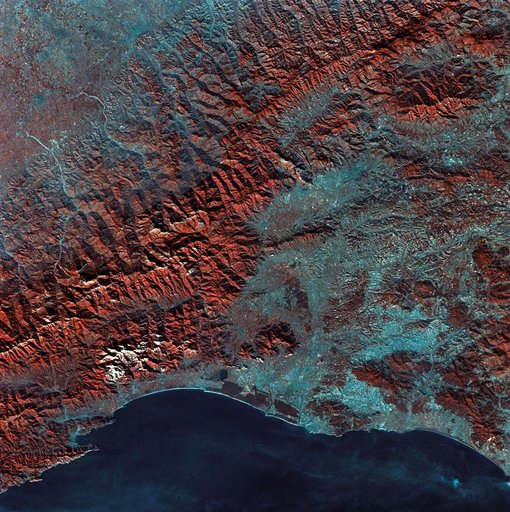 View of Florence, Italy area from Skylab
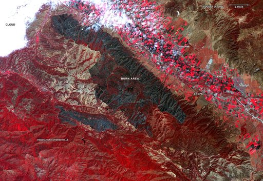 ASTER Gets a Birdseye View of the Carmel and River Fire Burn Areas