Public domain
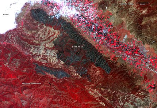
ASTER Gets a Birdseye View of the Carmel and River Fire Burn Areas
From the collection of NASA Image and Video Library. Free to download, adapt and use — no permission needed.
About this work
On Aug. 26, 2020, Advanced Spaceborne Thermal Emission and Reflection Radiometer (ASTER) instrument aboard NASA's Terra satellite passed over the River and Carmel fires in Monterey County, California, got a bird's eye view of the vast fire burn area. This false-color map shows the burn area as dark blue and gray, in the center of the image.
NASA Image and Video Library’s own descriptionCredit lineASTER Gets a Birdseye View of the Carmel and River Fire Burn Areas. NASA/JPL, 2020-09-01. Public domain. ID: PIA23800.
Similar works
 Impact of Destructive California Wildfire Captured by NASA Spacecraft
 Northern California Fires
 Major Wildfire Near Santa Barbara seen by NASA Spacecraft
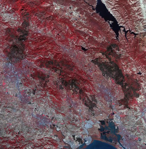 Impact of Northern California Fires Seen in New NASA Satellite Image
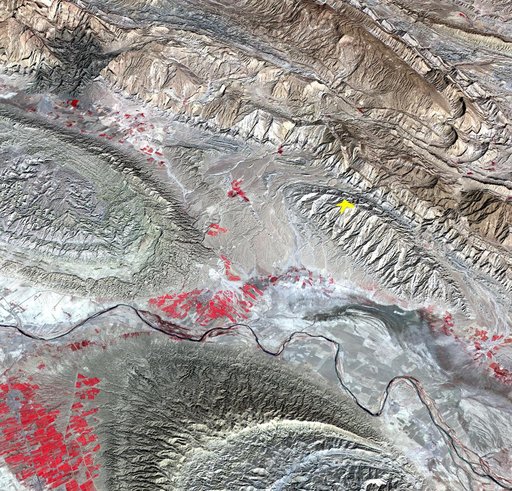 NASA Spacecraft Image Shows Location of Iranian Earthquake
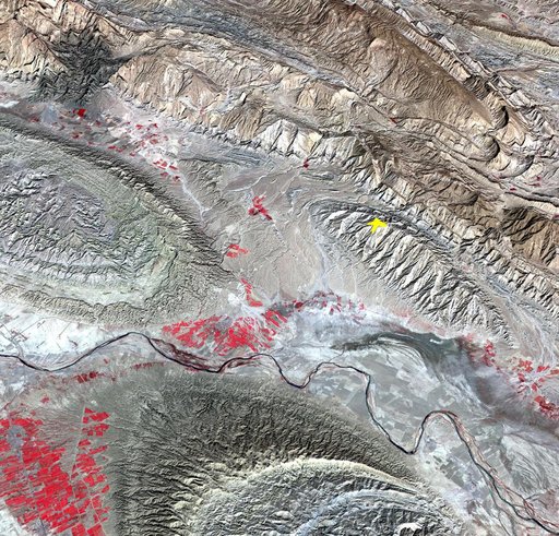 NASA Spacecraft Image Shows Location of Iranian Earthquake