Public domain
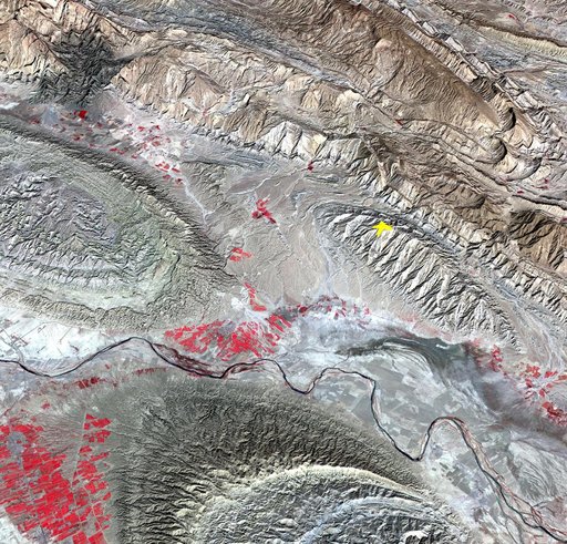
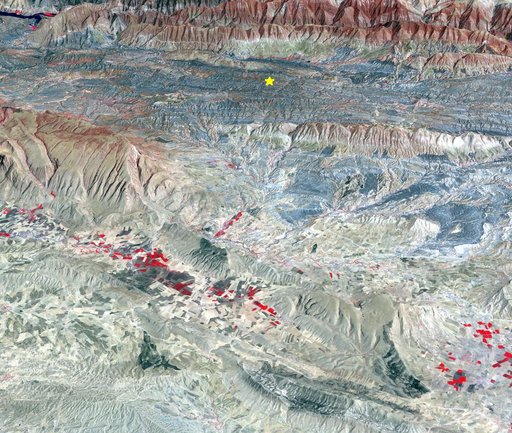
NASA Spacecraft Image Shows Location of Iranian Earthquake
From the collection of NASA Image and Video Library. Free to download, adapt and use — no permission needed.
About this work
On April 9, 2013 at 11:52 GMT, a magnitude 6.3 earthquake hit southwestern Iran's Bushehr province near the town of Kaki. Preliminary information is that several villages have been destroyed and many people have died, as reported by BBC News. This perspective view of the region was acquired Nov. 17, 2012, by the Advanced Spaceborne Thermal Emission and Reflection Radiometer (ASTER) instrument on NASA's Terra spacecraft. The location of the earthquake's epicenter is marked with a yellow star.
NASA Image and Video Library’s own descriptionCredit lineNASA Spacecraft Image Shows Location of Iranian Earthquake. NASA/GSFC, 2017-12-08. Public domain. ID: GSFC_20171208_Archive_e001520.
Similar works
 NASA Spacecraft Image Shows Location of Iranian Earthquake
 Region Hit by Large Pakistan Quake as Shown by NASA Spacecraft
 Region Hit by Large Pakistan Quake as Shown by NASA Spacecraft
 Iran-Iraq Border Quake Region Imaged by NASA Satellite
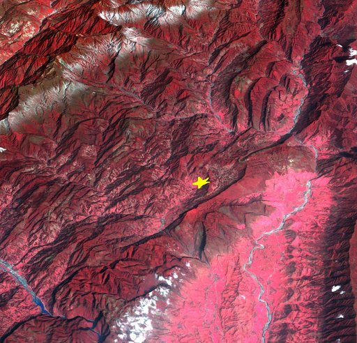 NASA Spacecraft Shows Location of China Quake
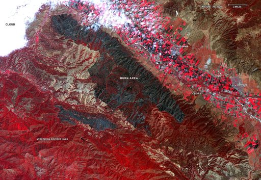 ASTER Gets a Birdseye View of the Carmel and River Fire Burn Areas