Public domain
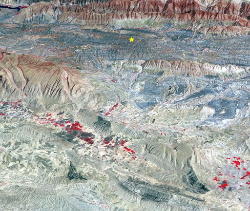
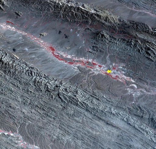
Iran-Iraq Border Quake Region Imaged by NASA Satellite
From the collection of NASA Image and Video Library. Free to download, adapt and use — no permission needed.
About this work
On Sunday, Nov. 12, 2017, a magnitude 7.3 earthquake struck along the Iran-Iraq border near Halabjah, Iraq. The earthquake was felt as far away as Kuwait, Qatar, Turkey, Lebanon and Israel. Extensive damage and numerous casualties were reported in the area near the epicenter (yellow star on image). The earthquake occurred along the boundary between the Arabian and Eurasian tectonic plates. This is an earthquake-prone area, and has experienced many deadly earthquakes in the past.
NASA Image and Video Library’s own descriptionCredit lineIran-Iraq Border Quake Region Imaged by NASA Satellite. NASA/JPL, 2017-11-15. Public domain. ID: PIA22112.
Similar works
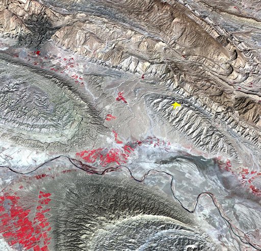 NASA Spacecraft Image Shows Location of Iranian Earthquake
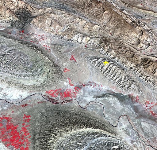 NASA Spacecraft Image Shows Location of Iranian Earthquake
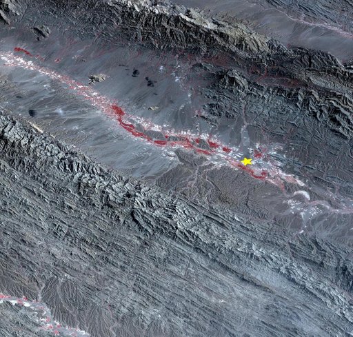 Region Hit by Large Pakistan Quake as Shown by NASA Spacecraft
 Region Hit by Large Pakistan Quake as Shown by NASA Spacecraft
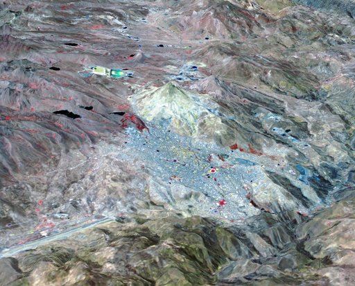 Potosi, Bolivia
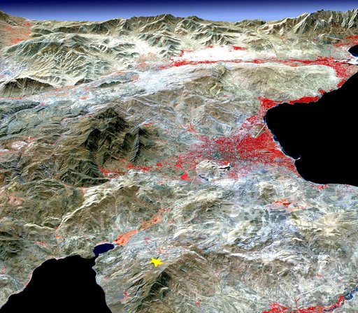 NASA Images Topography of Quake-Stricken Eastern Turkey