Public domain
Curiosity Destinations for Second Extended Mission
From the collection of NASA Image and Video Library. Free to download, adapt and use — no permission needed.
About this work
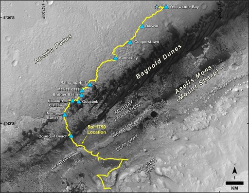
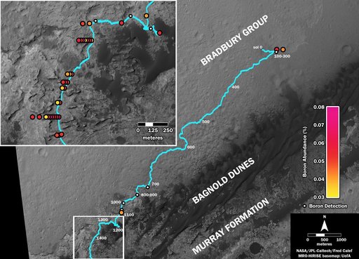
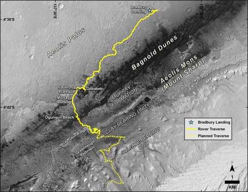
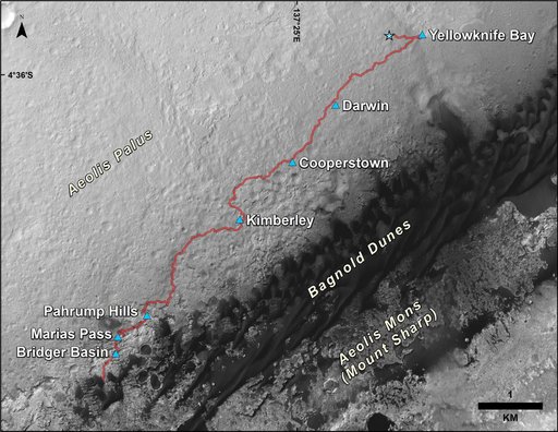
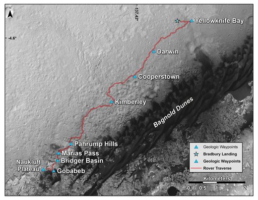
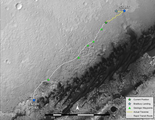
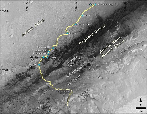
This map shows the route driven by NASA's Curiosity Mars rover from the location where it landed in August 2012 to its location in September 2016 at "Murray Buttes," and the path planned for reaching destinations at "Hematite Unit" and "Clay Unit" on lower Mount Sharp. Blue triangles mark waypoints investigated by Curiosity during the rover's two-year prime mission and first two-year extended mission.
NASA Image and Video Library’s own descriptionCredit lineCuriosity Destinations for Second Extended Mission. NASA/JPL, 2016-10-03. Public domain. ID: PIA20846.