Public domain
Mid-2019 Map of NASA's Curiosity Rover Mission
From the collection of NASA Image and Video Library. Free to download, adapt and use — no permission needed.
About this work
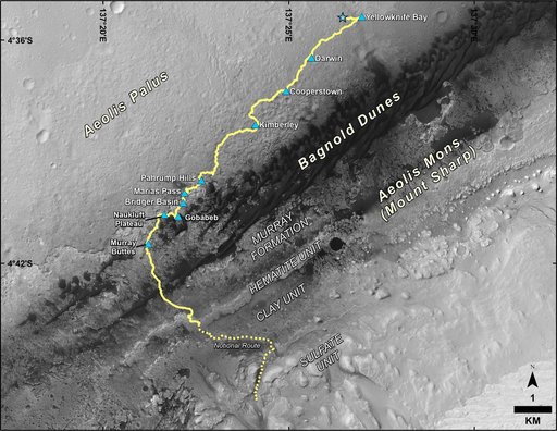
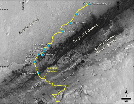
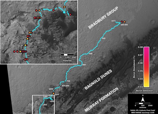
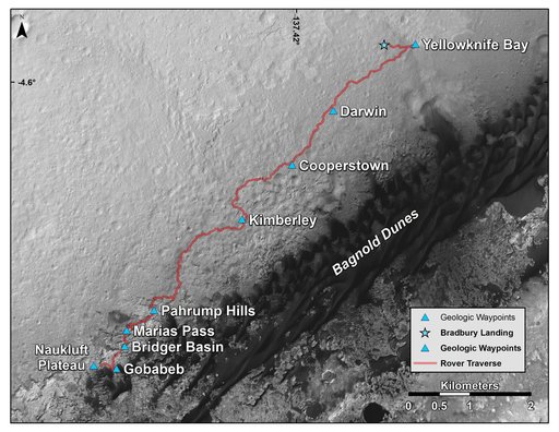
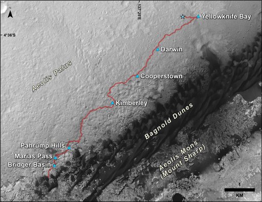
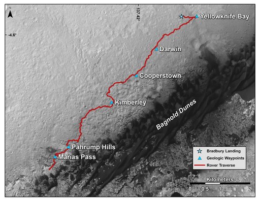
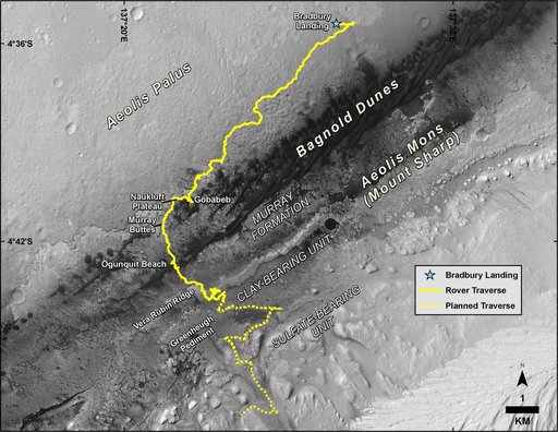
This map shows the route driven by NASA's Curiosity Mars rover, from the location where it landed in August 2012 to its location in August 2019, and its planned path to additional geological layers of lower "Mount Sharp." The blue star near top center marks "Bradbury Landing," the site where Curiosity arrived on Mars on Aug. 5, 2012, PDT (Aug. 6, EDT and Universal Time). Curiosity landed on Aeolis Palus, the plains surrounding Aeolis Mons (Mount Sharp) in Gale Crater.
NASA Image and Video Library’s own descriptionCredit lineMid-2019 Map of NASA's Curiosity Rover Mission. NASA/JPL, 2019-08-22. Public domain. ID: PIA23412.