Public domain
NASA's ECOSTRESS Maps Burn Risk Across Phoenix Streets
From the collection of NASA Image and Video Library. Free to download, adapt and use — no permission needed.
About this work
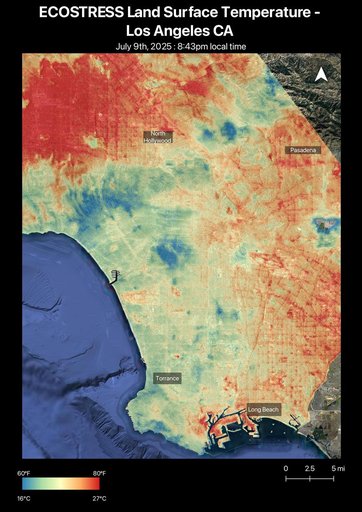
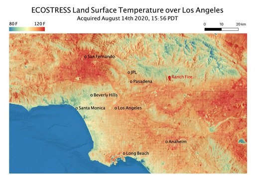
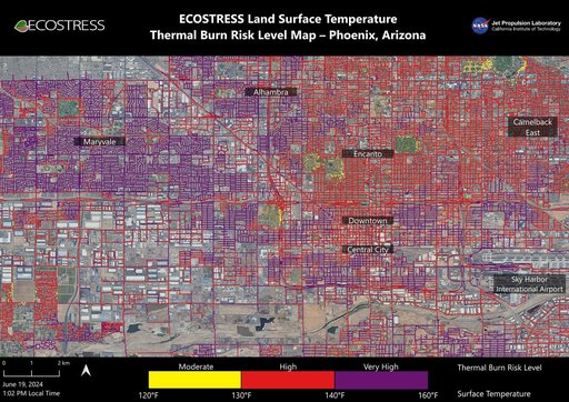
Data from NASA's ECOSTRESS (Ecosystem Spaceborne Thermal Radiometer Experiment on Space Station) instrument was used to map scorching pavement in Phoenix where contact with skin can cause serious burns. Based on measurements captured at 1:02 p.m. local time on June 19, 2024, the image shows land surface temperatures across a grid of roads and adjacent sidewalks, revealing how urban spaces can turn hazardous during hot weather.
NASA Image and Video Library’s own descriptionCredit lineNASA's ECOSTRESS Maps Burn Risk Across Phoenix Streets. NASA/JPL, 2024-07-02. Public domain. ID: PIA25529.