Public domain
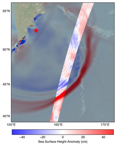
SWOT Satellite Measures Pacific Tsunami
From the collection of NASA Image and Video Library. Free to download, adapt and use — no permission needed.
About this work
The U.S.-French SWOT (Surface Water and Ocean Topography) satellite captured the leading edge of a tsunami wave that rolled through the Pacific Ocean on July 30, 2025 (11:25 a.m. local time), in the wake of a magnitude 8.8 earthquake that struck Russia's Kamchatka Peninsula. The satellite captured the data about 70 minutes after the earthquake struck.
NASA Image and Video Library’s own descriptionCredit lineSWOT Satellite Measures Pacific Tsunami. NASA/JPL, 2025-08-07. Public domain. ID: PIA26652.
Similar works
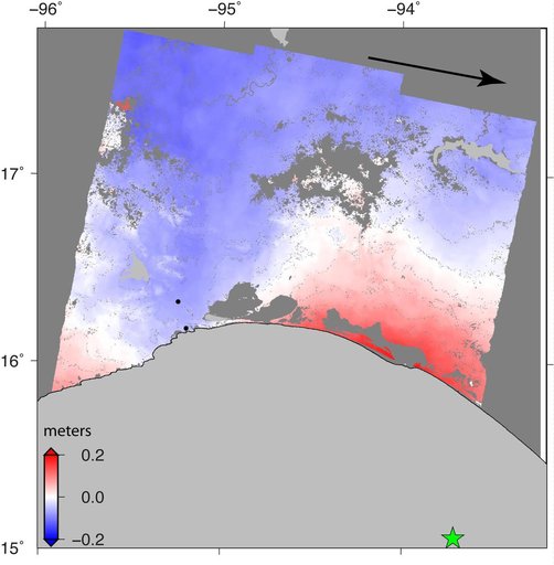 Sentinel-1 Radar Shows Ground Motion From Sept. 2017 Oaxaca-Chiapas, Mexico Quake
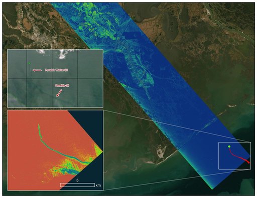 Delta-X Oil Slick Radar Signal in Gulf of Mexico
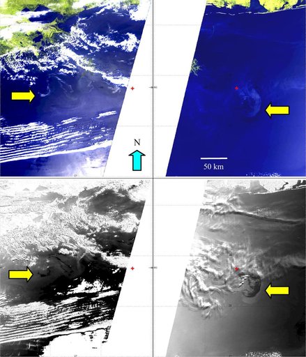 NASA MISR Images Continued Spread of Gulf of Mexico Oil Slick
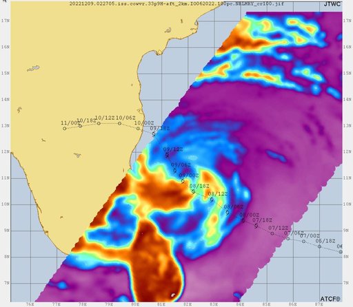 COWVR, TEMPEST Track Tropical Cyclone Mandous
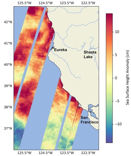 SWOT Monitors Warming Waters Off California Coast
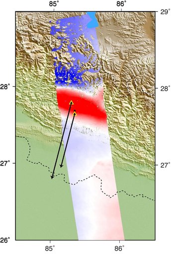 Radar Shows Kathmandu Area Uplifted 5 Feet by Gorkha, Nepal Earthquake