Public domain
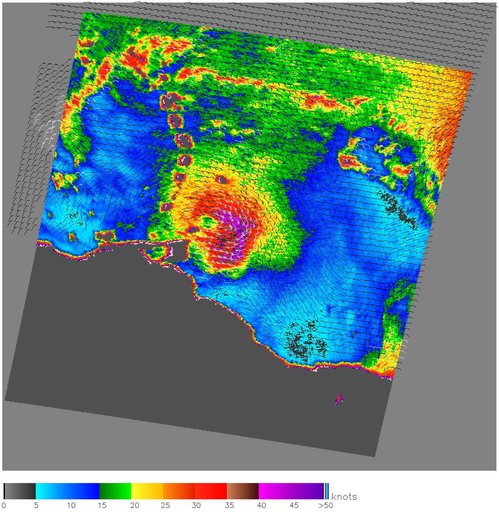
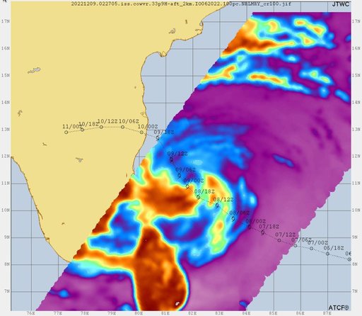
COWVR, TEMPEST Track Tropical Cyclone Mandous
From the collection of NASA Image and Video Library. Free to download, adapt and use — no permission needed.
About this work
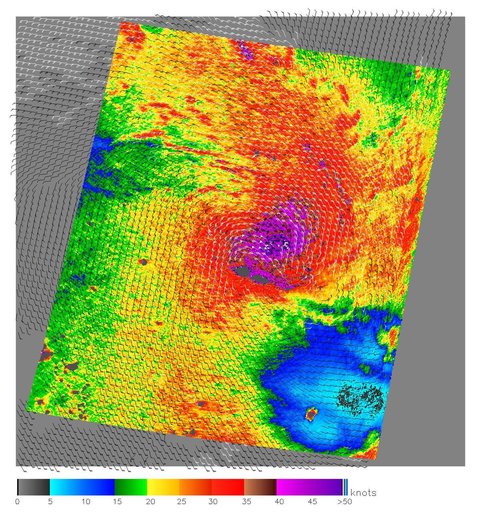
Data from two weather instruments developed at NASA's Jet Propulsion Laboratory in Southern California to provide forecasters data on weather over the open ocean were used to create this image of Tropical Cyclone Mandous on Dec. 9, 2022, as the storm approached the southeastern coast of India. Forecasters at the U.S. Joint Typhoon Warning Center in Pearl Harbor, Hawaii, used the image and others like it to understand the storm's intensity and track its path.
NASA Image and Video Library’s own descriptionCredit lineCOWVR, TEMPEST Track Tropical Cyclone Mandous. NASA/JPL, 2023-02-23. Public domain. ID: PIA25565.