Public domain
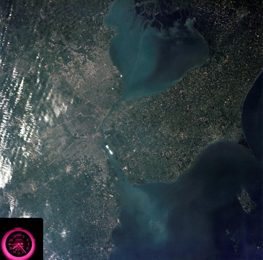
Detroit, Michigan metropolitan area photographed from Skylab
From the collection of NASA Image and Video Library. Free to download, adapt and use — no permission needed.
About this work
SL3-83-0152 (July-September 1973) --- A near vertical view of the metropolitan Detroit, Michigan area is seen in this Skylab 3 Earth Resources Experiments Package S190-B (five-inch Earth terrain camera) photograph taken from the Skylab space station in Earth orbit. The 25-mile long Detroit River drains the smaller body of water (Lake St. Clair) and flows southwestward separating Detroit from Windsor, Ontario, and empties into Lake Erie.
NASA Image and Video Library’s own descriptionSubjects
Credit lineDetroit, Michigan metropolitan area photographed from Skylab. NASA/JSC, 1973-08-05. Public domain. ID: SL3-83-0152.
Similar works
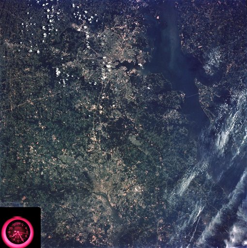 Washington, D.C. and the Baltimore, Maryland area
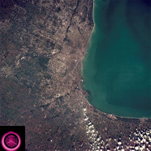 Metropolitan area of Chicago
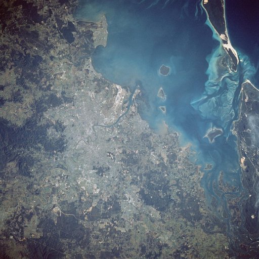 Earth observations taken during STS-41D mission.
 Earth observations taken during STS-77
 Matagorda Bay, Gulf Coast of Texas as seen from the Apollo 7 spacecraft
 View - Northeast Oklahoma (OK) - Metropolitan Tulsa Area - OK