Public domain
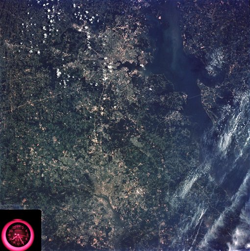
Washington, D.C. and the Baltimore, Maryland area
From the collection of NASA Image and Video Library. Free to download, adapt and use — no permission needed.
About this work
SL3-83-166 (July-September 1973) --- A vertical view of the Washington D.C. and the Baltimore, Maryland area is seen in the Skylab 3 Earth Resources Experiments Package S190-B (five-inch Earth terrain camera) photograph taken from the Skylab space station in Earth orbit. The Chesapeake Bay is on the right (east) side of the picture. The Potomac River flows through the Washington area in the lower left (southwest) corner of the photograph.
NASA Image and Video Library’s own descriptionSubjects
Credit lineWashington, D.C. and the Baltimore, Maryland area. NASA/JSC, 1973-08-15. Public domain. ID: SL3-83-0166.