Public domain
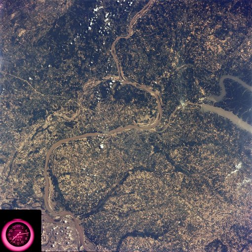
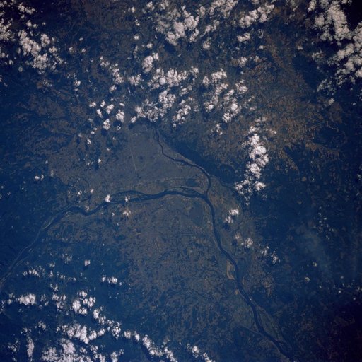
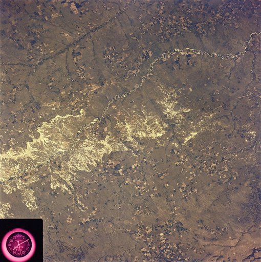
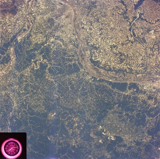
Misssissippi River and St. Louis, MO
From the collection of NASA Image and Video Library. Free to download, adapt and use — no permission needed.
About this work
SL2-81-189 (22 June 1973) --- The well defined meanderings of the Mississippi River, just to the south of St. Louis, MO (38.5N, 90.5W) can easily be seen as curved lines and loops roughly paralleling the present river in this view showing the former water channels. The vegetated bluffs on either side of the river define the limits of the meanders where the rich river flood plain offers some of the most fertile land for agriculture although flooding remains a constant threat.
NASA Image and Video Library’s own descriptionCredit lineMisssissippi River and St. Louis, MO. NASA/JSC, 1973-06-22. Public domain. ID: sl2-81-189.