Public domain
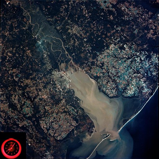
Mobile Bay, Alabama area seen in Skylab 4 Earth Resources Experiment Package
From the collection of NASA Image and Video Library. Free to download, adapt and use — no permission needed.
About this work
SL4-92-300 (February 1974) --- A near vertical view of the Mobile Bay, Alabama area is seen in this Skylab 4 Earth Resources Experiments Package S190-B (five-inch earth terrain camera) photograph taken from the Skylab space station in Earth orbit. North of Mobile the Tombigbee and Alabama Rivers join to form the Mobile River. Detailed configuration of the individual stream channels and boundaries can be defined as the Mobile River flows into Mobile Bay, and thence into the Gulf of Mexico.
NASA Image and Video Library’s own descriptionSubjects
Credit lineMobile Bay, Alabama area seen in Skylab 4 Earth Resources Experiment Package. NASA/JSC, 1974-02-01. Public domain. ID: SL4-92-300.
Similar works
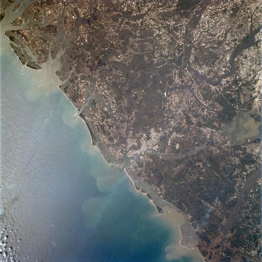 Apollo 9 Mission image - Earth Observation - East coast of the United States
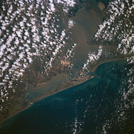 Earth observations taken during STS-77
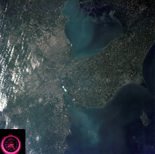 Detroit, Michigan metropolitan area photographed from Skylab
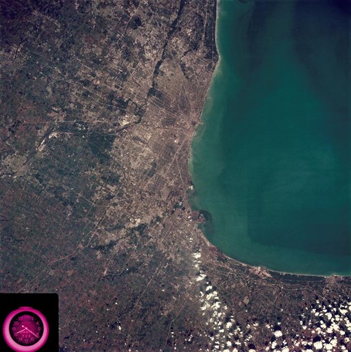 Metropolitan area of Chicago
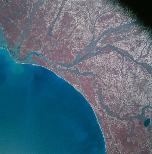 Apollo 9 Mission image - S0-65 Multispectral Photography - South Carolina
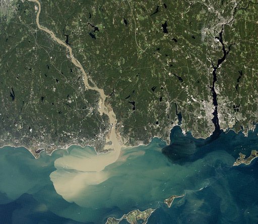 Sediment Spews from Connecticut River