Public domain
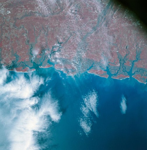
Apollo 9 Mission image - S0-65 Multispectral Photography - Georgia
From the collection of NASA Image and Video Library. Free to download, adapt and use — no permission needed.
About this work
AS09-26A-3816A (12 March 1969) --- Color infrared photograph of the Atlantic coast of Georgia, Brunswick area, taken on March 12, 1969, by one of the four synchronized cameras of the Apollo 9 Earth Resources Survey SO65 Experiment. At 11:35 a.m. (EST) when this picture was made the Apollo 9 spacecraft was at an altitude of 102 nautical miles, and the sun elevation was 51 degrees above the horizon.
NASA Image and Video Library’s own descriptionCredit lineApollo 9 Mission image - S0-65 Multispectral Photography - Georgia. NASA/JSC, 2009-02-19. Public domain. ID: as09-26a-3816a.
Similar works
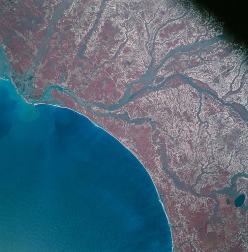 Apollo 9 Mission image - S0-65 Multispectral Photography - South Carolina
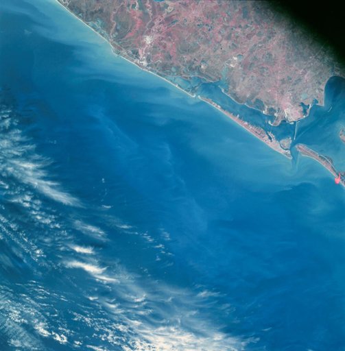 Apollo 9 Mission image - S0-65 Multispectral Photography - Texas
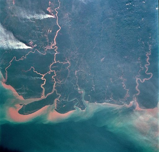 Earth observations taken from Space Shuttle Columbia during STS-93 mission
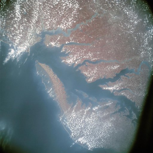 Infrared view of Chesapeake Bay showing Virginia, Maryland and Delaware
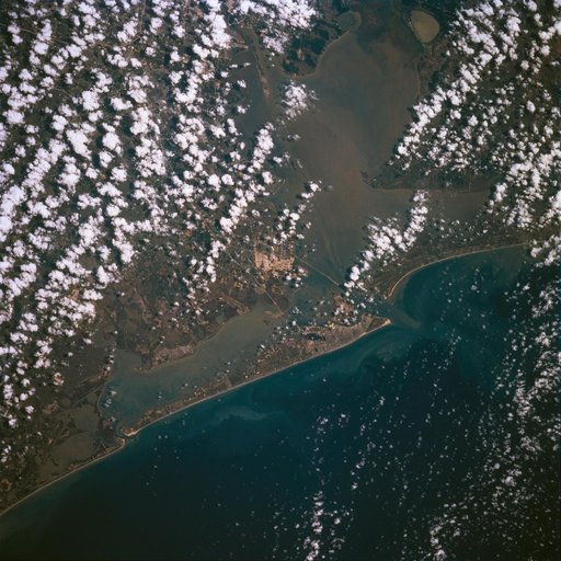 Earth observations taken during STS-77
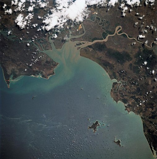 STS-32 Earth observation of the western Coral Sea and the Great Barrier Reef