Public domain
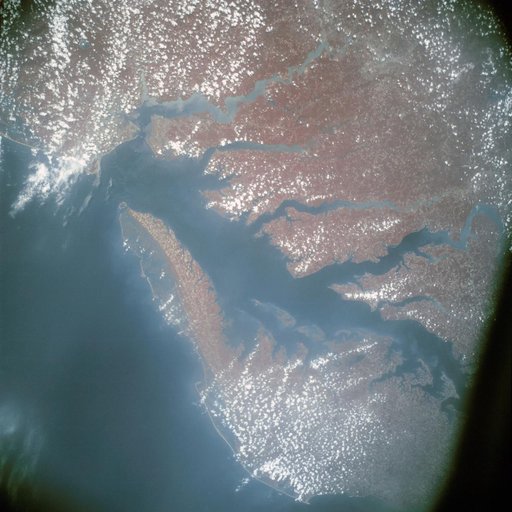
Infrared view of Chesapeake Bay showing Virginia, Maryland and Delaware
From the collection of NASA Image and Video Library. Free to download, adapt and use — no permission needed.
About this work
AST-13-797 (24 July 1975) --- An infrared, near vertical view of the Chesapeake Bay area showing portions of Virginia, Maryland and Delaware, as photographed from the Apollo spacecraft in Earth orbit during the joint U.S.-USSR Apollo-Soyuz Test Project mission. Richmond and Norfolk can be seen in this picture. Tidewater Virginia covers much of this view.
NASA Image and Video Library’s own descriptionSubjects
Credit lineInfrared view of Chesapeake Bay showing Virginia, Maryland and Delaware. NASA/JSC, 1975-07-24. Public domain. ID: ast-13-797.
Similar works
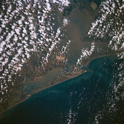 Earth observations taken during STS-77
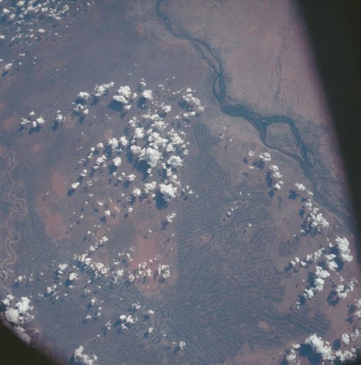 Sudan as seen from the Apollo 7 spacecraft
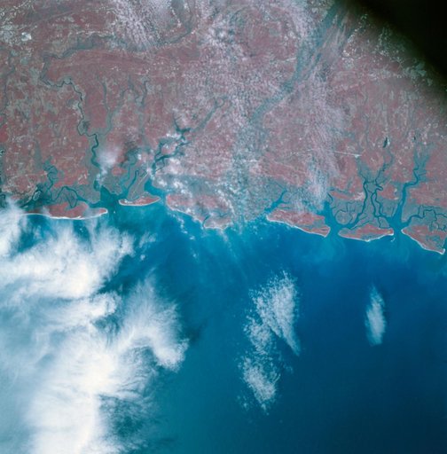 Apollo 9 Mission image - S0-65 Multispectral Photography - Georgia
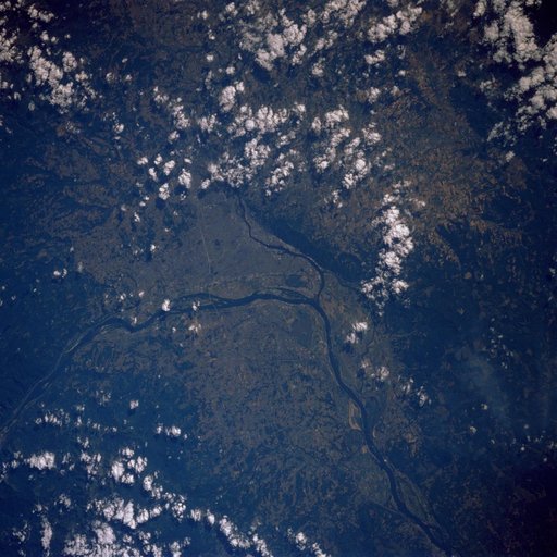 51F earth observations
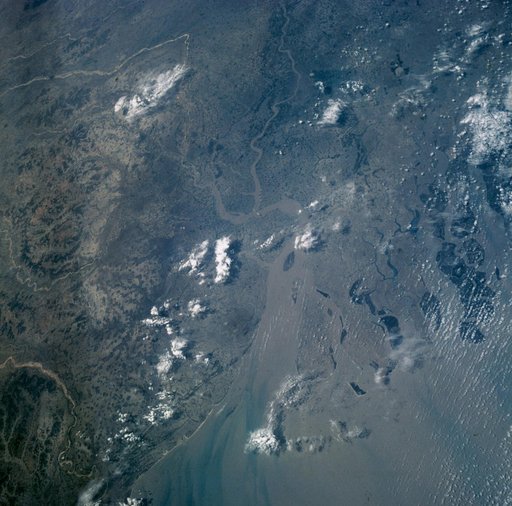 MERCURY-ATLAS (MA)-9 - EARTH-SKY VIEW - INDIA - EARTH RESOURCES (ER)
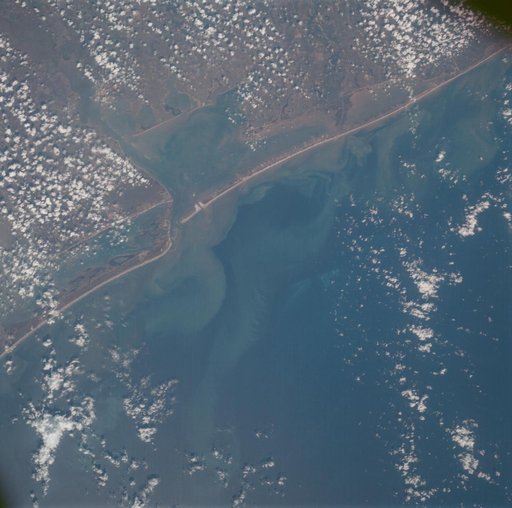 Matagorda Bay, Gulf Coast of Texas as seen from the Apollo 7 spacecraft