Public domain
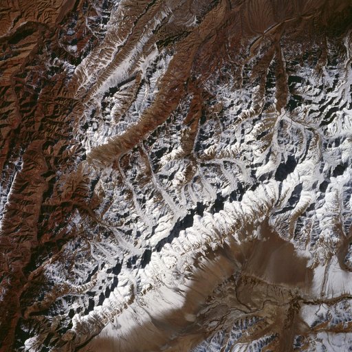
King Ata Tag Mountain Range, western China as seen by STS-66 Atlantis
From the collection of NASA Image and Video Library. Free to download, adapt and use — no permission needed.
About this work
The northwest-southeast trending, snow-covered, linear mountain range is the King Ata Tag Mountain, located in extreme western most China. Highest peaks are just over 20,100 feet above sea level. The town or village of Muji is located in the largest river valley that is south of this range of mountains. This area includes part of the country of Tajikistan. The center point of the photo is approximately 39.30 degrees north and 74.30 degrees easth.
NASA Image and Video Library’s own descriptionCredit lineKing Ata Tag Mountain Range, western China as seen by STS-66 Atlantis. NASA/JSC, 1994-11-14. Public domain. ID: sts066-107-010.
Similar works
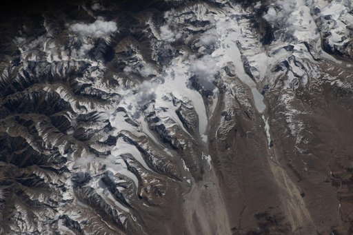 Glaciers flow downhill from the Himalayas’ northern slopes onto China's Tibetan Plateau
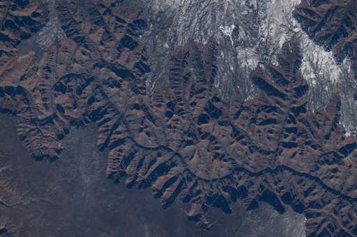 The Grand Canyon in Arizona pictured from the International Space Station
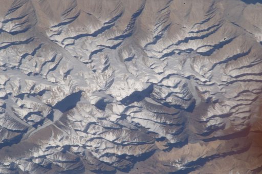 Earth Observation taken by the Expedition 33 crew
 iss012e15598
 Glaciers in the Himalayan Mountains taken from Atlantis during STS-106
 Earth observations taken during the STS-60 mission