Public domain
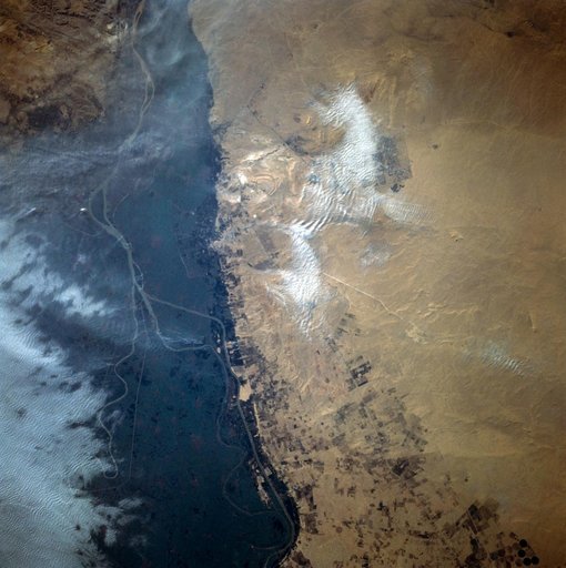
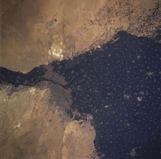
Cairo, Egypt/Nile River viewed from STS-66 Atlantis
From the collection of NASA Image and Video Library. Free to download, adapt and use — no permission needed.
About this work
This close-up view of the intensively cultivated Nile River flood plain near Cairo presents a sharp color contrast to the virtually non-vegetated, sandy desert, located to the west of the vegetated area. Some rectangular cultivated field patterns, as well as circular center pivot irrigation patterns, can be observed northwest of the Nile River flood plain. The world famous Giza Pyramids are located near the center of this photography (see highly reflective sand surfaces).
NASA Image and Video Library’s own descriptionCredit lineCairo, Egypt/Nile River viewed from STS-66 Atlantis. NASA/JSC, 1994-11-14. Public domain. ID: sts066-110-041.
Similar works
 View of sand dunes in the San Juan Province of Western Argentina
 Earth observation views of Egypt taken from OV-105 during STS-99
 Earth observations taken during STS-90 mission
 Earth observations taken during STS-81 mission
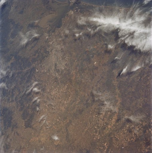 Oblique view of Houston, Texas as seen from Apollo 9
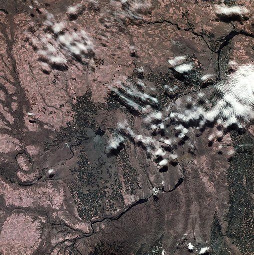 View of southeastern Washington State