CC0 · no rights reserved
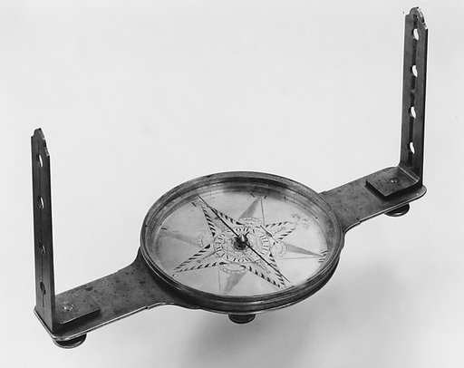
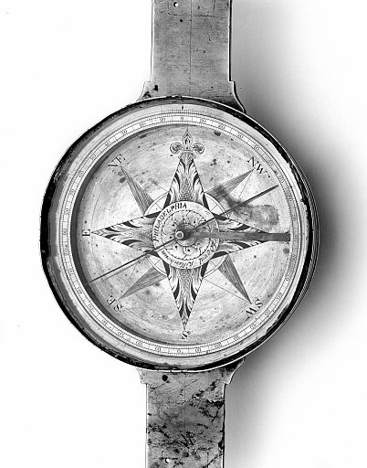
Surveyor's Vernier Compass
From the collection of National Museum of American History. Free to download, adapt and use — no permission needed.
About this work
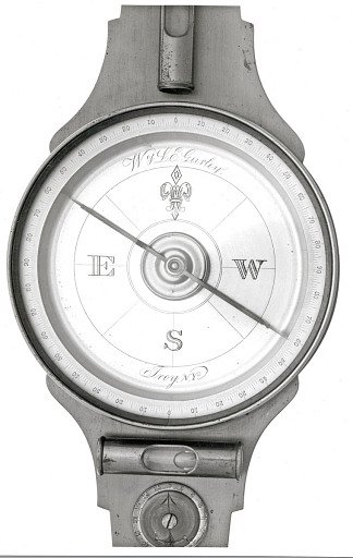
The magnetic compasses that Americans used to determine property boundaries were inexpensive and expeditious but affected by magnetic variation—the fact that magnetic north seldom coincides with true north, and the relation between the two changes over time. The vernier compass solved this problem.
National Museum of American History’s own descriptionSubjects
Credit lineSurveyor's Vernier Compass. ca 1785. Rittenhouse, David. National Museum of American History. CC0.