Public domain
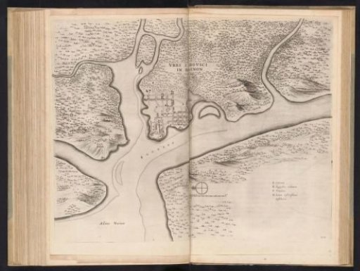
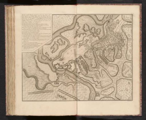
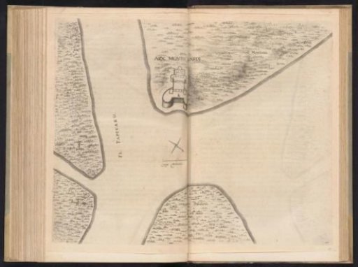
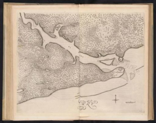
Map with the forts at the mouth of the Paraiba River, ca. 1636-1644
From the collection of Rijksmuseum, Amsterdam. Free to download, adapt and use — no permission needed.
About this work
Map with the forts at the mouth of the river Rio Paraiba, ca. 1636-1644. Plate no. 26 in a series of 55 views of the journey to and stay in Brazil of Count John Maurice of Nassau in the years 1636-1644.
Rijksmuseum, Amsterdam’s own descriptionCredit lineKaart met de forten aan de monding van de rivier Paraiba, ca. 1636-1644. 1645 - 1647. Jan van Brosterhuyzen. Rijksmuseum, Amsterdam. Public domain.