Public domain
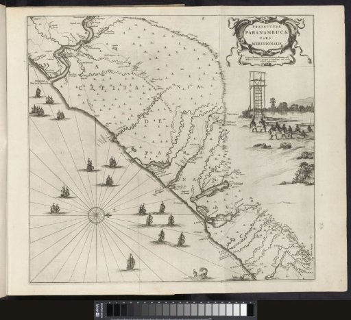
Map of the coast of Pernambuco, 1647
From the collection of Rijksmuseum, Amsterdam. Free to download, adapt and use — no permission needed.
About this work
Map of the coast of Pernambuco, showing the mouth of the Rio São Francisco at the top. With scenes of local fishing and the construction of a tower. Plate [no. 2] in a series of 55 depictions of the journey to and the stay in Brazil of Count Johan Maurits of Nassau in the years 1636-1644.
Rijksmuseum, Amsterdam’s own descriptionCredit lineKaart van de kust van Pernambuco, 1647. 1645 - 1647. Salomon Savery. Rijksmuseum, Amsterdam. Public domain.
Similar works
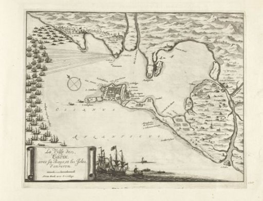 Map of the battle for Cadiz, 1702
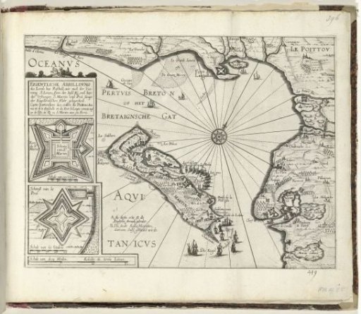 Map of the island of Ré near La Rochelle, ca. 1627
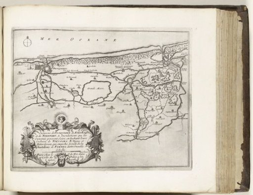 Map of the Flemish coast between Dunkirk and Nieuwpoort, ca. 1693-1696
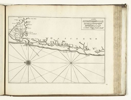 Map of the Coast of Gascony, 1726
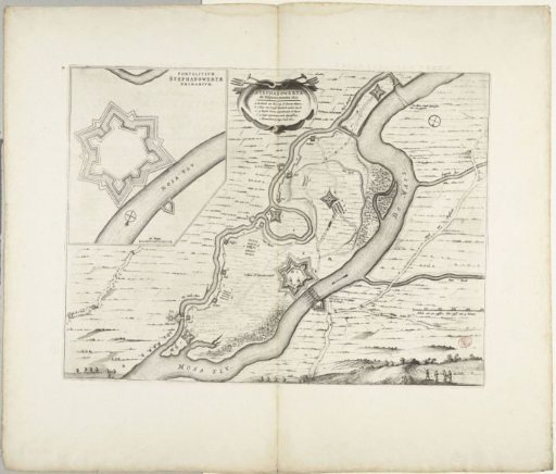 Fortification of Stevensweert by the Spaniards, 1633
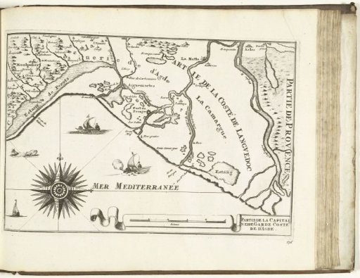 Map of the southern coast of France near Montpellier, 1726