Public domain
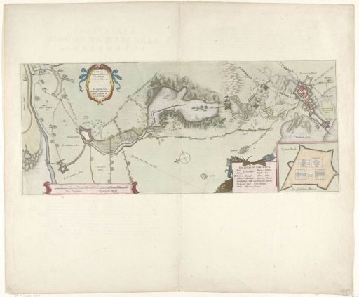
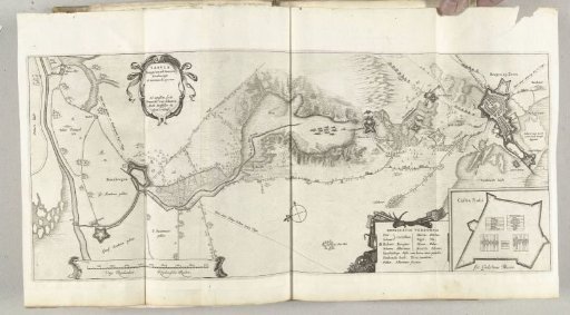
Map of the Siege of Bergen op Zoom, 1622
From the collection of Rijksmuseum, Amsterdam. Free to download, adapt and use — no permission needed.
About this work
Map of the failed siege of Bergen op Zoom by the Spanish army under Spinola and Velasco, 18 July to 3 October 1622. Map of Bergen op Zoom with the area up to Steenbergen. With three cartouches with the Latin title, a Dutch-Latin glossary, and the plan of Fort Pinsen (Castra Pinsii). Part of the plates accompanying the report on the siege and capture of Grol by the States Army under Frederick Henry, 6 July to 19 August 1627.
Rijksmuseum, Amsterdam’s own descriptionCredit lineKaart van het beleg van Bergen op Zoom, 1622. 1627 - 1629. Franciscus van Schooten (I). Rijksmuseum, Amsterdam. Public domain.