Public domain
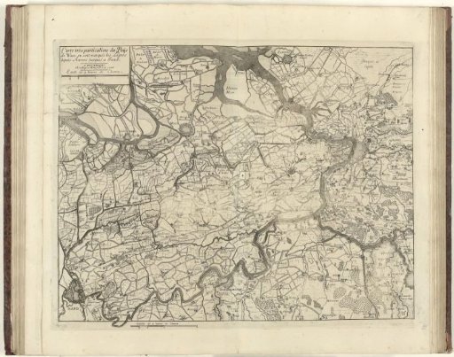
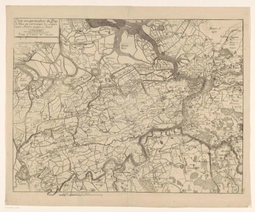
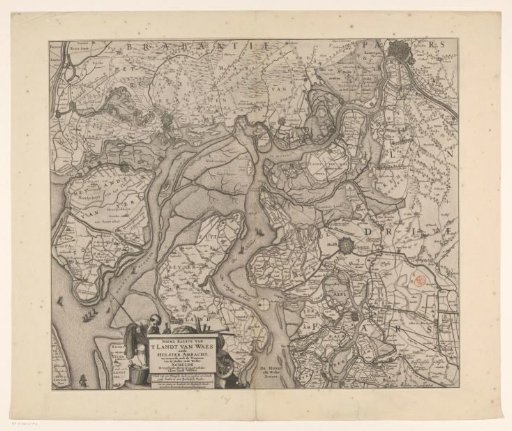
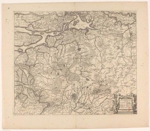
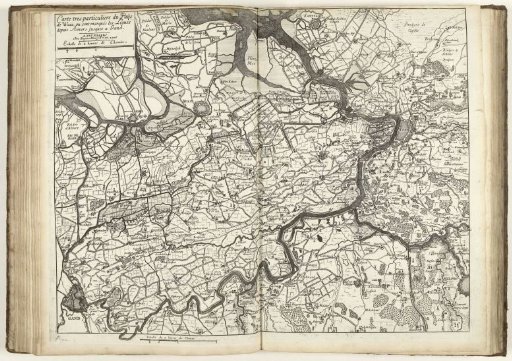
Map of the Waasland, 1706
From the collection of Rijksmuseum, Amsterdam. Free to download, adapt and use — no permission needed.
About this work
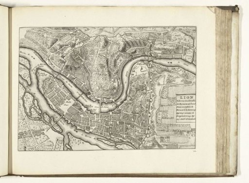
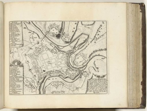
Map of the Waasland showing the defensive lines from the War of the Spanish Succession. Upper left: cartouche with title and scale bar: Echelle de 2 heures de Chemin. Lower left of center: same scale bar. Part of a bound collection of plans of battles and cities famous in the War of the Spanish Succession.
Rijksmuseum, Amsterdam’s own descriptionCredit lineKaart van het Waasland, 1706. 1706. Jacobus Harrewijn. Rijksmuseum, Amsterdam. Public domain.