Public domain
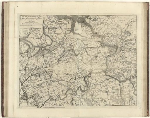
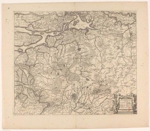
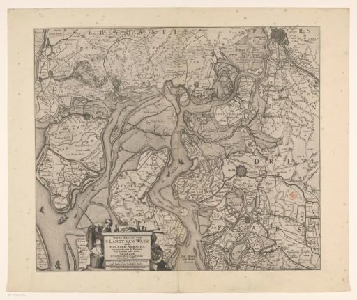
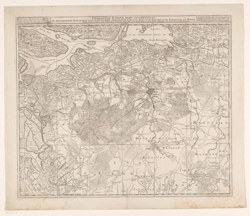
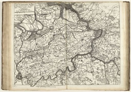
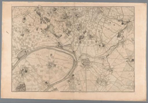
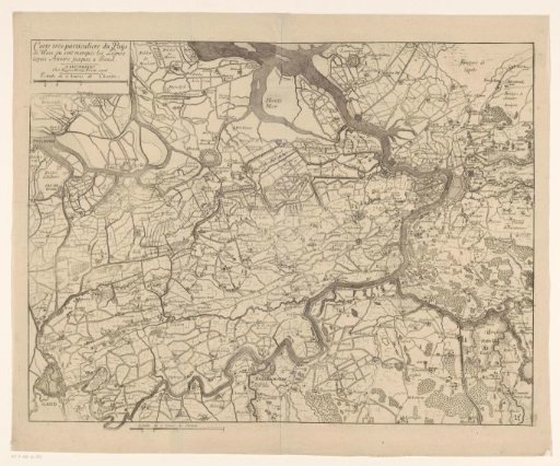
Map of the Waasland
From the collection of Rijksmuseum, Amsterdam. Free to download, adapt and use — no permission needed.
About this work
Map of the Waasland showing the defensive lines from the War of the Spanish Succession. Top left: a cartouche with title and scale bar: Echelle de 2 heures de Chemin. Below, left of center: the same scale bar.
Rijksmuseum, Amsterdam’s own descriptionCredit lineKaart van het Waasland. 1706 - 1712. Jacobus Harrewijn. Rijksmuseum, Amsterdam. Public domain.