Public domain
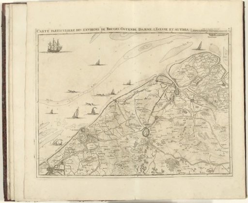
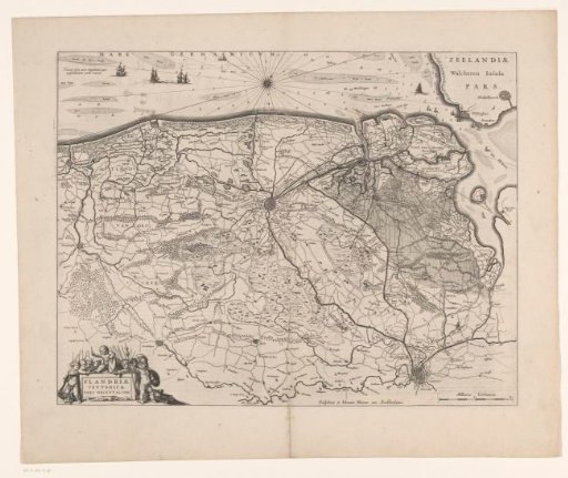
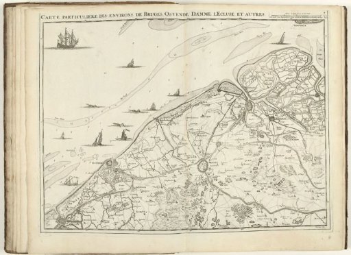
Map of West Flanders, 1707
From the collection of Rijksmuseum, Amsterdam. Free to download, adapt and use — no permission needed.
About this work
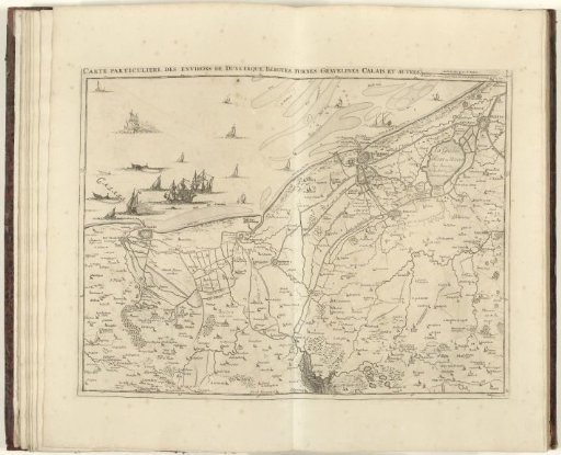
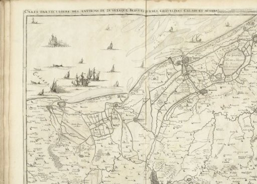
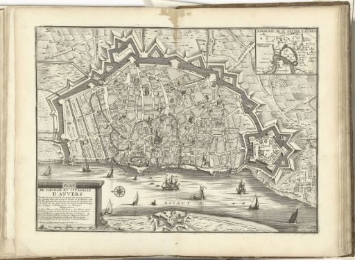
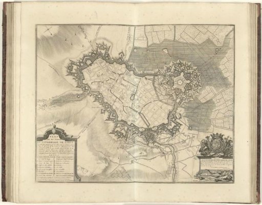
Map of West Flanders with the cities of Bruges, Ostend, Damme, and Sluis, 1707. Part of a bound collection of plans of battles and cities famous in the War of the Spanish Succession. This plate belongs to the first 24 plates that together form a very large map of the Southern Netherlands.
Rijksmuseum, Amsterdam’s own descriptionCredit lineKaart van West-Vlaanderen, 1707. 1707. Jacobus Harrewijn. Rijksmuseum, Amsterdam. Public domain.