Public domain
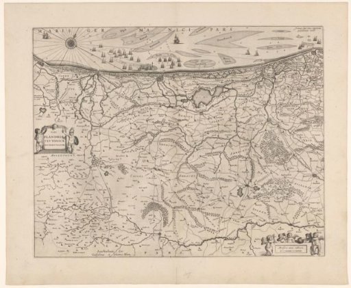
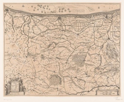
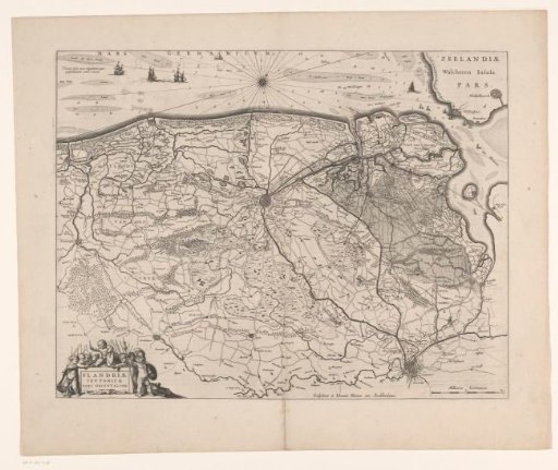
Map of the Brugse Vrije
From the collection of Rijksmuseum, Amsterdam. Free to download, adapt and use — no permission needed.
About this work
Map of the Brugse Vrije, the largest bailiwick of the County of Flanders. In the lower left, the title cartouche. In the lower right, a scale bar: 2 Milliaria Germanica. On the verso, Latin text.
Rijksmuseum, Amsterdam’s own descriptionCredit lineKaart van het Brugse Vrije. 1631. anonymous. Rijksmuseum, Amsterdam. Public domain.