Public domain
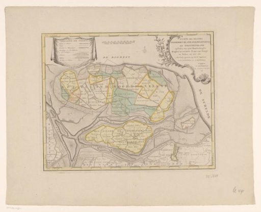
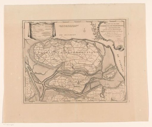
Map of the islands Noord-Beveland, Wolphaatsdijk and Oost-Beveland
From the collection of Rijksmuseum, Amsterdam. Free to download, adapt and use — no permission needed.
About this work
Top left, a cartouche with a legend. At the top center, a scale bar: Scale of a thousand rods Rhenish. Top right, the title cartouche. Degree division along the edges.
Rijksmuseum, Amsterdam’s own descriptionCredit lineKaart van de eilanden Noord-Beveland, Wolphaatsdijk en Oost-Beveland. 1753 - 1760. anonymous. Rijksmuseum, Amsterdam. Public domain.