Public domain
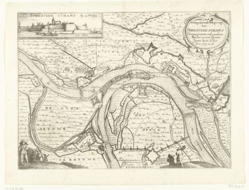
Map with the siege and capture of Schenkenschans by Frederick Henry, 1635-1636
From the collection of Rijksmuseum, Amsterdam. Free to download, adapt and use — no permission needed.
About this work
Map of the siege and capture of Schenckenschans by the States' army under Frederick Henry, 1635-1636. Top left a view of the fort from the water. At the bottom in the foreground several figures. Marked top left: Fig. 23 Fol. 239.
Rijksmuseum, Amsterdam’s own descriptionCredit lineKaart met beleg en verovering van Schenckenschans door Frederik Hendrik, 1635-1636. 1651 - 1652. anonymous. Rijksmuseum, Amsterdam. Public domain.
Similar works
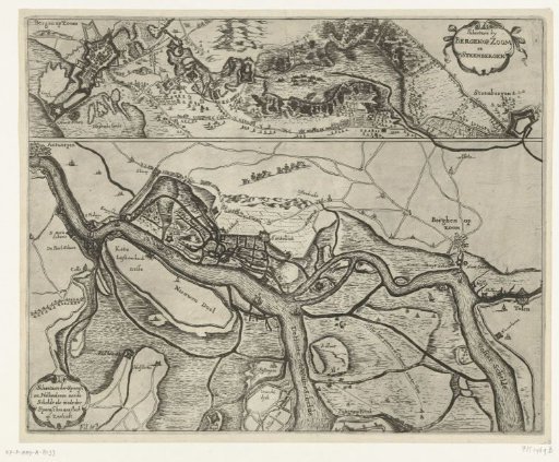 Fortifications at Bergen op Zoom and Steenbergen and along the Scheldt, ca. 1622
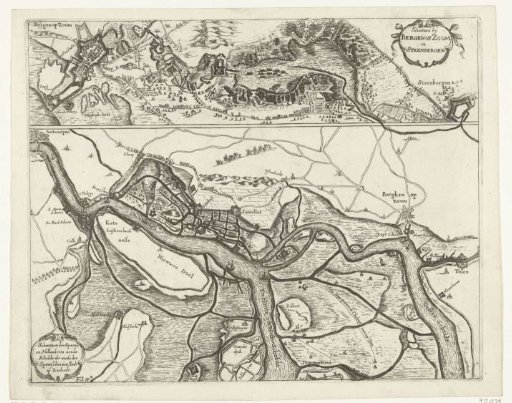 Fortifications during the Siege of Bergen op Zoom in 1622 and the fortifications along the Scheldt in 1627
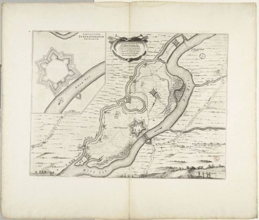 Fortification of Stevensweert by the Spaniards, 1633
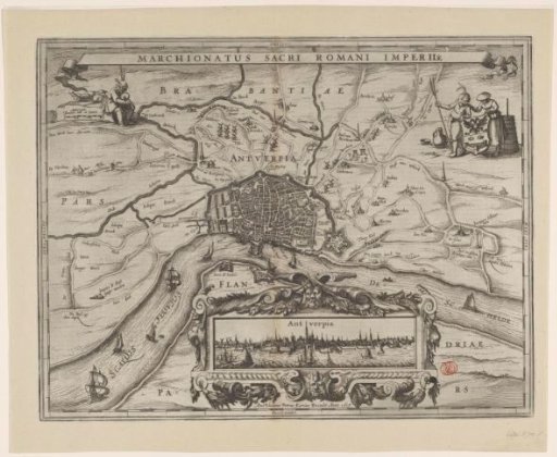 Map of Antwerp with a city view
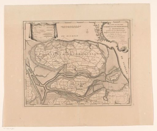 Map of the islands Noord-Beveland, Wolphaatsdijk and Oost-Beveland
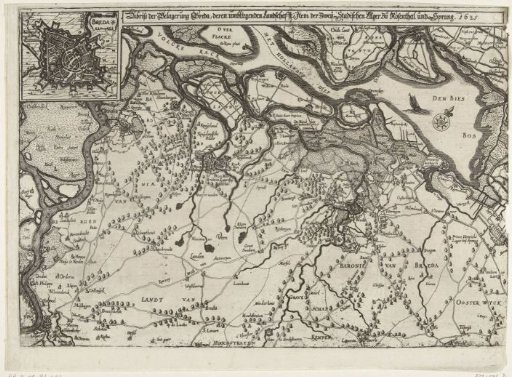 Map of the Siege of Breda, 1625